Key takeaways
- 3Dsurvey now runs natively on Linux with no Wine or virtual machines required
- The Linux version includes the same core photogrammetry engine and output quality as Windows
- Process drone imagery, LiDAR, SLAM, GNSS, and sonar data in one workflow
- Generate point clouds, meshes, orthophotos, CAD deliverables, contour lines, and volume calculations inside a single application
- Version 4.1 introduces 2× faster point cloud and mesh reconstruction
- Built-in CAD tools and cloud sharing reduce the need for third-party software
- The Linux release is actively maintained, with more features and compatibility improvements planned for future updates
What you get with Linux photogrammetry software?
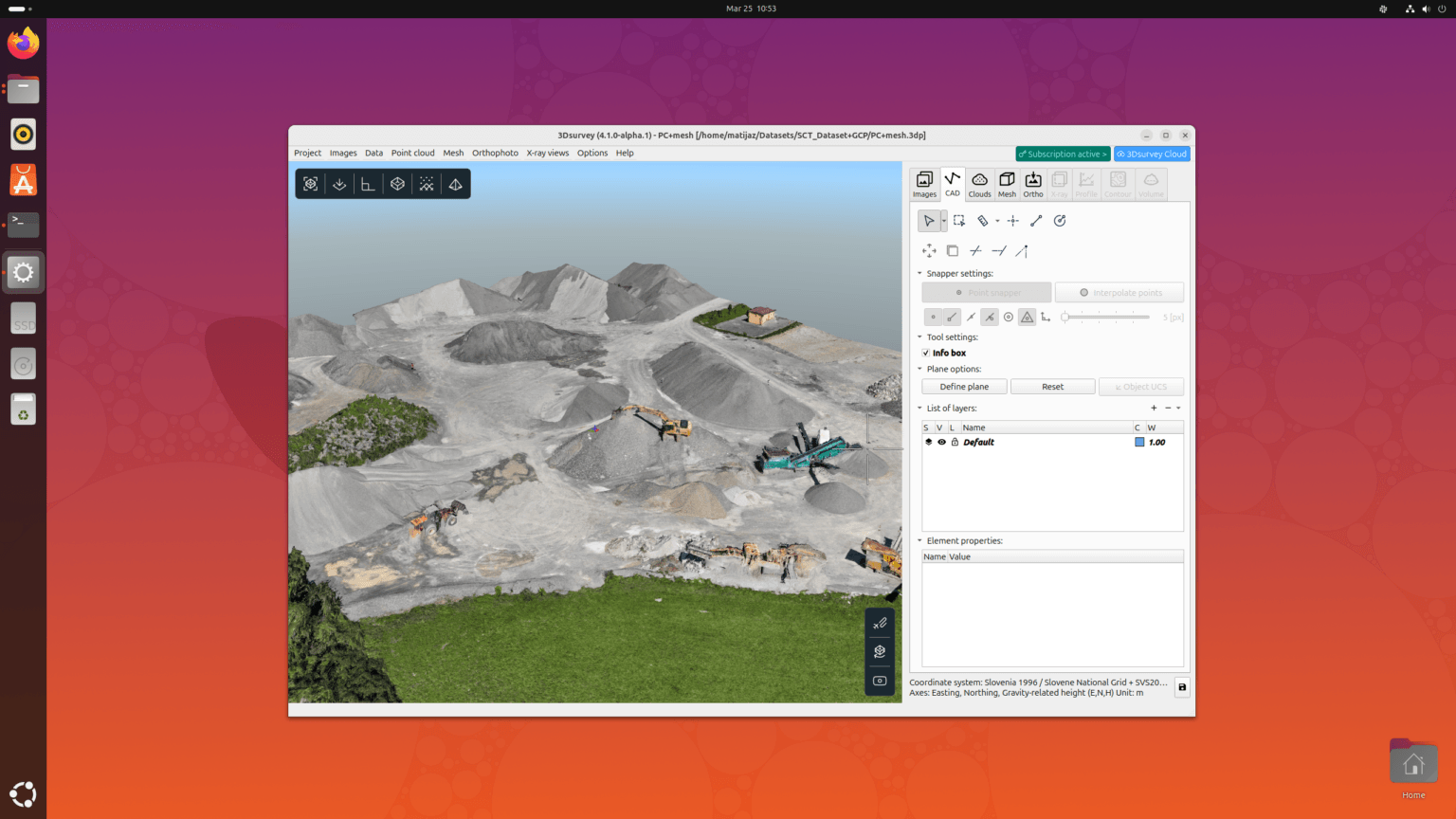
3Dsurvey now runs natively on Linux, bringing professional Linux photogrammetry software to Ubuntu and other Linux distributions. Same processing engine. Same output quality. No Wine, no virtual machines, no compromises.
The Linux version includes the complete 3Dsurvey feature set, making it a powerful Linux photogrammetry software solution for surveyors, drone operators, and geospatial professionals.
Full end-to-end photogrammetry workflow
Process drone imagery into dense point clouds, meshes, orthophotos, and CAD-ready deliverables – all inside one application. No need to jump between multiple tools during processing.
2× faster reconstruction in v4.1
Point cloud and mesh reconstruction is now twice as fast. Process larger datasets and meet tighter deadlines without upgrading your hardware.
Multi-source data support: LiDAR, SLAM, GNSS, sonar
3Dsurvey goes beyond drone photogrammetry. The Scan module handles point clouds from LiDAR, SLAM, GNSS, sonar, and other modern surveying methods within a single workflow.
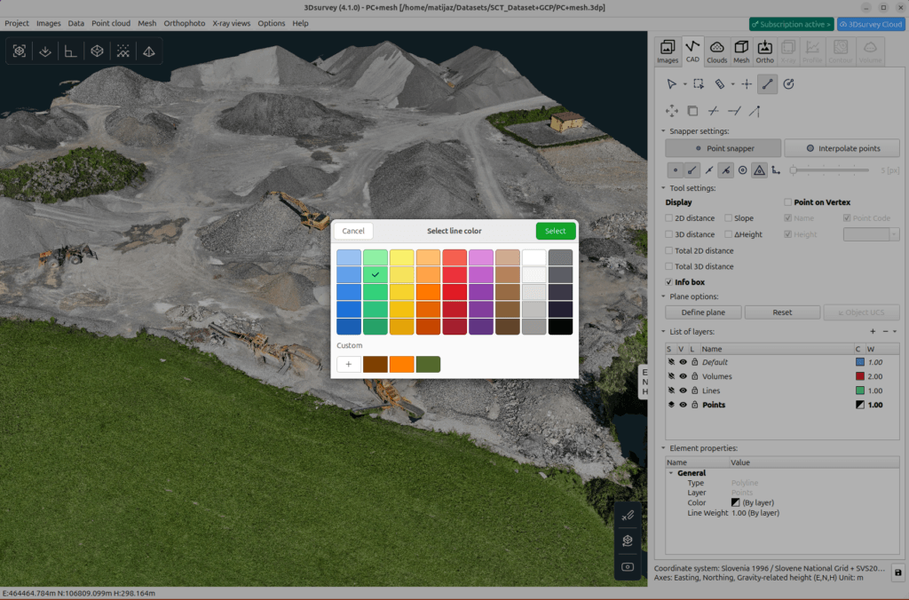
Integrated CAD engine and vectorization
Unlike many Linux photogrammetry software options, 3Dsurvey includes a built-in CAD engine with advanced vectorization tools. Edit, draft, and prepare deliverables directly inside the software without switching to third-party CAD applications.
Feature-rich surveying tools
Volume calculations, profile lines, cross-sections, contour lines, classification, and point cloud editing are all built directly into 3Dsurvey, giving surveyors and engineers a complete toolkit in one platform.
3Dsurvey Cloud sharing
Share point clouds, orthophotos, profile lines, and volume results through a browser-based viewer. Clients can open projects from any phone, tablet, or computer without installing software.
What works the same as Windows?
This is not a stripped-down port. The Linux version runs on the same core engine as Windows and delivers identical results.
- Full point cloud and mesh generation
- Orthophoto and Ground Orthophoto
- Integrated CAD engine
- Volume and profile calculations
- Scan module
- RTK Videogrammetry module
- 3Dsurvey Cloud sharing
- 18-language interface
- 2× faster reconstruction (v4.1)
- X-ray vectorization and floor plans
- Contour lines and classification
- Customizable background and UI
Slight variations between Linux and Windows
Building Linux photogrammetry software with Linux-native libraries and widgets comes with slight differences. Some interface elements may look different, and certain processes can be slightly faster or slower compared to Windows experience. What is not affected is the output quality and/or accuracy.
Beta limitations to be aware of
Automated reports
Built-in report generation is currently unavailable on Linux. Raw data exports still work normally, allowing reports to be created manually.
.zLAS format support
Compressed .zLAS point cloud files are not supported. Standard .LAS and .LAZ files work without issues.
Conclusion
3Dsurvey brings professional Linux photogrammetry software to surveyors, drone operators, and geospatial professionals without changing the workflow they already rely on. From drone mapping and LiDAR processing to CAD-ready deliverables and cloud sharing, the Linux version delivers the same core experience and output quality as Windows.
This is an actively maintained beta. These gaps are known to the 3Dsurvey team and we are actively addressing them. You can expect to see the list shortened in upcoming releases.
Ready to try 3Dsurvey on Linux? Download the free trial and experience the complete photogrammetry workflow natively on your preferred Linux distribution.
If you want to learn more about 3Dsurvey software, we recommend you read our blog Why 3Dsurvey is the Best Photogrammetry Software in 2026 and get the full scope.

