- Home
- Products
Pushing the boundaries of Photogrammetry software!
3Dsurvey agile solution that turns geospatial data into valuable information. Extract the information you need with easy workflows and an endless list of features!
3Dsurvey platform
Why is 3Dsurvey different?
3Dsurvey offers an unprecedented flexibility and scalability allowing you to tailor it to your needs. It is designed to seamlessly transform images and data from various sources into precise 3D models.
Developed through field experience
User-friendly interface and integrated modules
Superb precision and export/import options
Core functionalities guaranteed with no need for additional purchases
Improve your efficiency and seamlessly share the results
Our system is compatible with any drone, camera, GNSS, LiDAR, SONAR, geospatial data and geotagged videos recorded with SiteScan, supporting numerous import formats like e57, obj, las, tiff, png, jpg, mp4, and many others.
Take advantage of full control over processing workflows to create highly detailed point clouds, stunning 3D textured meshes, digital terrain models, and high-resolution orthophotos.
Extract the data you need with an integrated CAD engine, calculate volumes, create contour lines, generate profile lines or cross sections and export them in standard file formats. All in single software.
Easily share 3Dsurvey results with clients. Let them observe the results on phone, tablet or any other device. Use basic inspection tools and efficiently manage your projects in timeline or map view.
For specific needs, take advantage of our Scan and RTK Videogrammetry solutions
Enhanced data quality and efficient processing, perfect for engineering, environmental science, and urban planning.
Centimeter-level precision for 3D models and maps, ideal for high-detail usage.
3Dsurvey comes with a few additional tools that you can use to streamline your work process even further


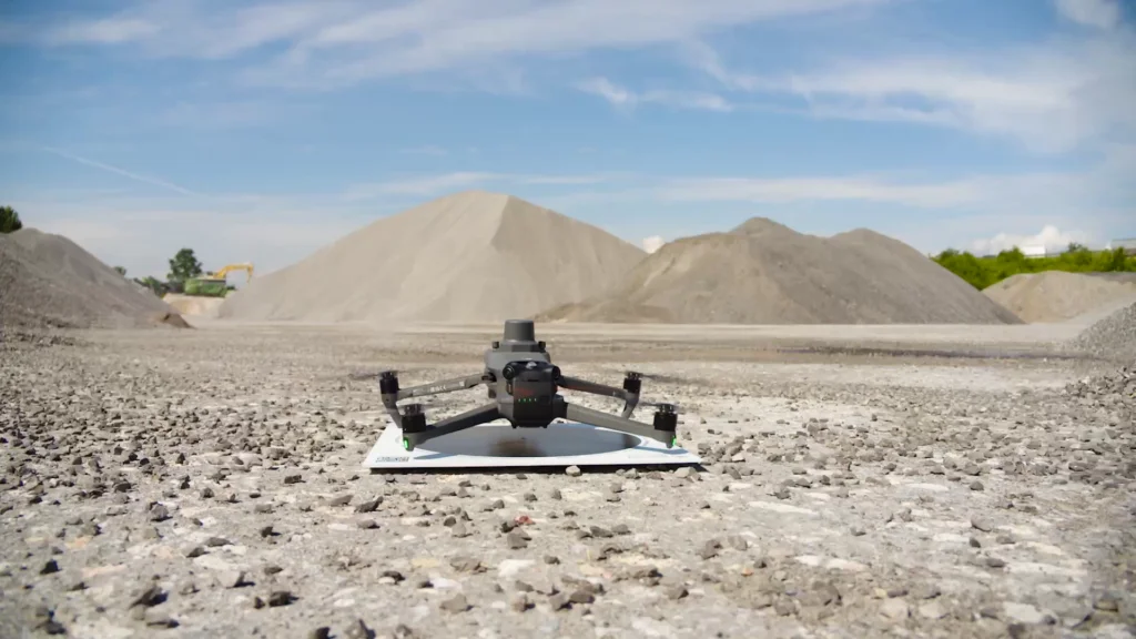
For any project where extreme accuracy is needed, and data is hard to measure.
Frequently asked questions
Minimum
Windows 7, 8, 10; 64 bit, Intel i5 or Ryzen 5, 16 GB RAM, nVidia GTX 1050 or better, SSD 128 GB + HDD 500 GB
Recommended
Windows 11; 64 bit, Intel i7 or Ryzen 7, 32 - 64 GB RAM, NVIDIA RTX 5060 Ti 16 GB, SSD 2 TB (NVMe)
Professional
Windows 11; 64 bit, Intel i9 or Ryzen 9, 64 - 128 GB RAM, 2x NVIDIA RTX 5060 Ti 16 GB, SSD 4 TB (NVMe)
Disclaimer: Intel Core 13th and 14th Gen K/KF/KS have serious issues with instability and we don't recommend it.
3Dsurvey offers a number of supported file formats: tiff, jpg, png, kmz, obj, ply, e57, las, dxf, pdf, txt, xyz, doc, xml, mp4.
Yes, you can! A free 14-day trial version is available on the free trial page. It has unlimited functionalities! In case 14 days prove too short, please email support@3Dsurvey.si and we'll do our best to assist.
You can send an inquiry about the license type you want to purchase through our store or contact your local 3Dsurvey distributor.
Upcoming

Free Trial - Fully functional, no limitations - for 14 days
Check out all the features and additional modules of 3Dsurvey software and see if it fits your needs, then choose the appropriate licence.
-
All-in-One solution
-
Onboarding training included
-
Supports 18 languages
Subscribe to our newsletter

