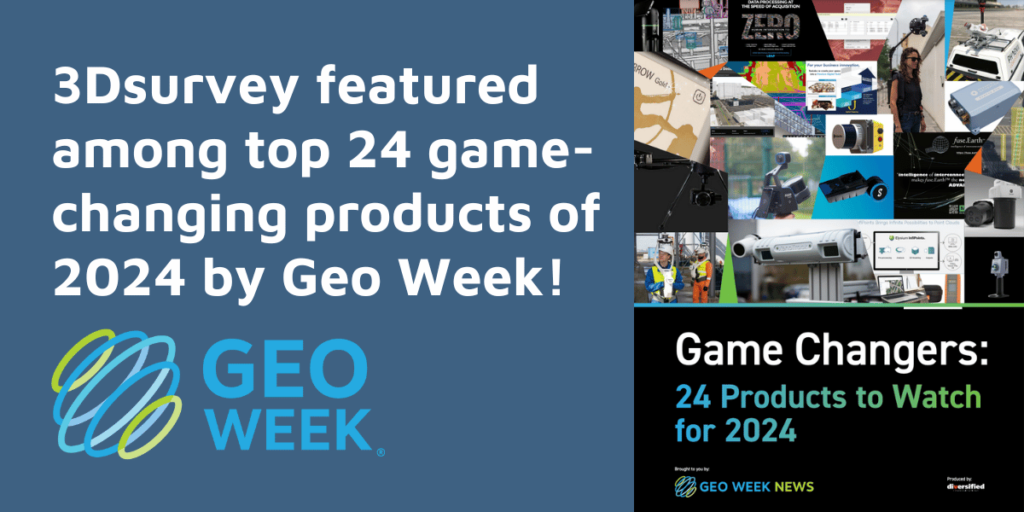
3Dsurvey is one of the Game Changers: 24 Products to Watch for 2024
Exciting news! 🎉 3Dsurvey has been recognized as one of the top 24 game-changing products of 2024 by Geo Week! This prestigious list highlights 3Dsurvey’s transformative power in redefining spatial data processing across industries.
3Dsurvey 2.18 is here!
This update is packed with new features and improvements to help you streamline your workflow and create even better results.
What's new in 3Dsurvey 2.18
Our much anticipated new version is soon to be released! To make the most of the latest version, we recommend first learning how to use it to your advantage.

We are a leading international provider of photogrammetry software.
We provide solutions for multiple industries based on real-life experience so you can do today what you couldn’t do yesterday.
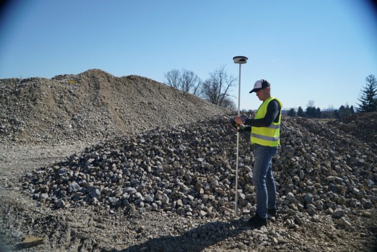
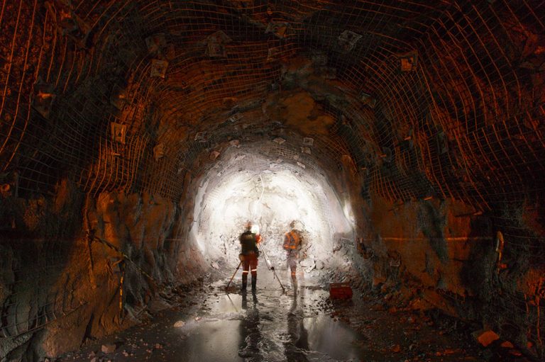
Mining
Struggling with complex manual measurements and gaining accurate information and data on-site? Make it effortless.
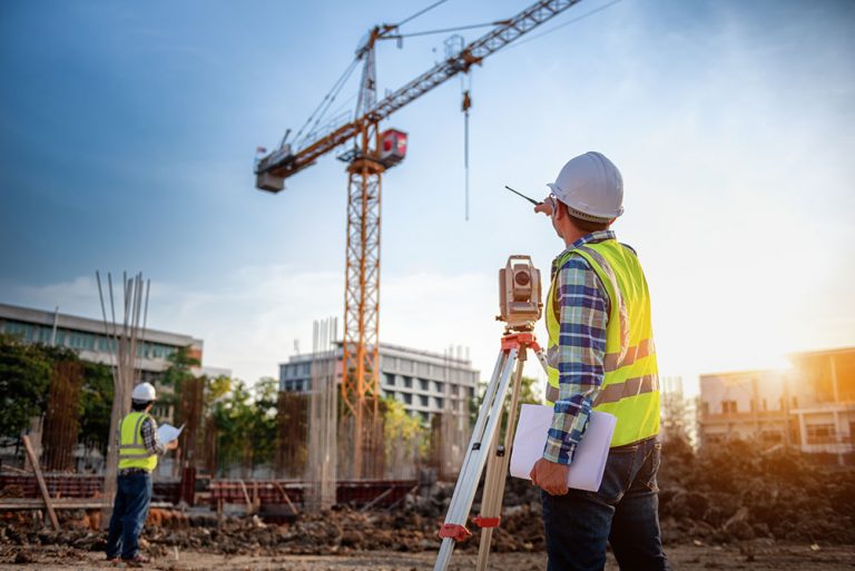
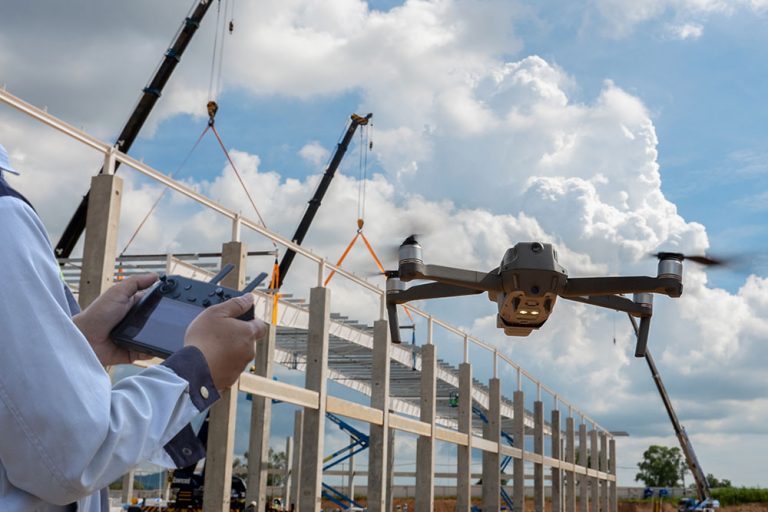
Construction
Spending a lot of time on monitoring and collecting accurate data? 3Dsurvey helps you make sure your data is reliable.
Architecture
Is it difficult and time-consuming for you to collect detailed information? Use 3Dsurvey to collect reusable information.

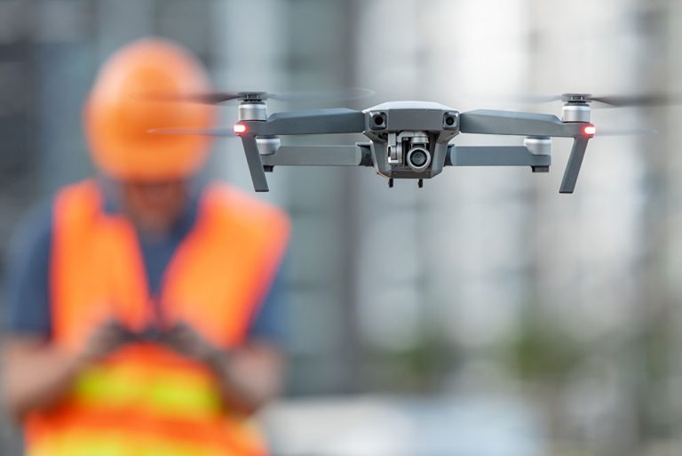
Public safety
Working in public safety? Quickly identify risks and impacted areas and strategize actions with 3Dsurvey.
Others
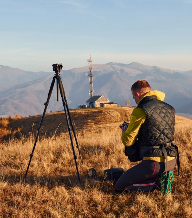
3Dsurvey software can also help researchers, designers, drone users and other surveying enthusiasts.
3Dsurvey software
As an end-to-end solution, our photogrammetry software gives you the power to process data from any input - this means less manual work and more time planning and implementing.
Why 3Dsurvey
With 3Dsurvey, the possibilities are endless. Our photogrammetry software gives you control, saves your time and is backed with our experience from the traditional surveying field.
- All Post
- Events
- News
- Software Updates
- Workshops
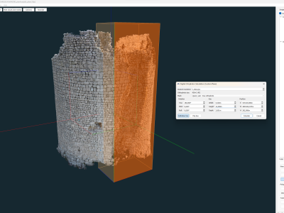
For this project, Mate Denona, needed to create an orthophoto of the inner and outer walls of a round tower.…
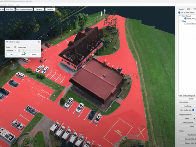
Discover how the Select by Color feature in 3Dsurvey photogrammetry software revolutionizes point cloud editing and classification.
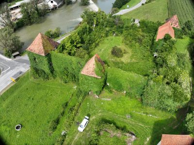
Explore how we dealt with dense vegetation and a drone crash at Soteska castle.

