Finding the right 3D mapping software is the difference between clocking out on time and spending another day in the mud because of missing field data. When you are standing on a dusty construction site or an active quarry, you need tools that work as hard as you do.
The goal isn’t just to capture reality, but to extract actionable, precise numbers without second-guessing your gear.
What is a 3D mapping software?
A 3D mapping software is essentially a specialized tool for creating three-dimensional representations of geographic features using spatial data. It builds a measurable, interactive digital twin of your job site.
You capture the reality in the field using drones or scanners, and the software extracts the hard geometry in the office. You are bringing the entire physical site to your desktop.
It is not about rendering pretty pictures for client presentations. It is about “Pragmatic Metrology.” Every pixel, voxel, and point needs to have reliable, verifiable coordinates attached to it.
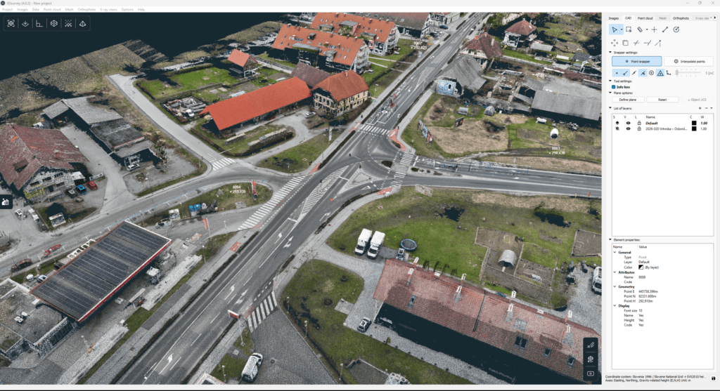
Point cloud of a street processed in 3Dsurvey.
What is photogrammetry?
Photogrammetry is the science and technology of obtaining reliable information about physical objects and the environment. You do this through the process of recording, measuring, and interpreting photographic images.
How it works is straightforward. You take a vast amount of heavily overlapping photos from different angles. You then use a computer program to extrapolate exactly where the camera was when it took each photo.
This works because the perspective shifts slightly between shots. The 3D mapping software tracks millions of matching tie-points and sees how they appear in different places across multiple images.
Knowing those shifts, along with the internal properties of your camera lens, allows the engine to generate a highly accurate 3D model.
If you want to check out some top use cases for photogrammetry, you can read our blog post Why use drone photogrammetry.
Benefits of 3D mapping software
3D mapping is slowly becoming an industry standard. The main benefits of this approach are:
It is Highly Intuitive: Navigating a 3D spatial environment makes far more sense to the human brain than staring at a 2D CAD grid of scattered, isolated elevations.
Site Visualization: You get an excellent representation and visualization of the site. It serves as a historical record of site conditions on that specific day.
No More Missed Measurements: It is practically impossible to forget to measure things. If the client suddenly wants the location of a manhole you didn’t plan for, you still have the 3D model of the site to pull the coordinates from.
Fast Volume Calculations: Stop sweating over complex stockpile geometries. Draw a boundary, pick your base, and get a super easy and intuitive volume calculation in seconds.
Automated Topography: You can clean out vegetation, extract the bare earth, and generate highly accurate profile lines and contour lines with just a few clicks.
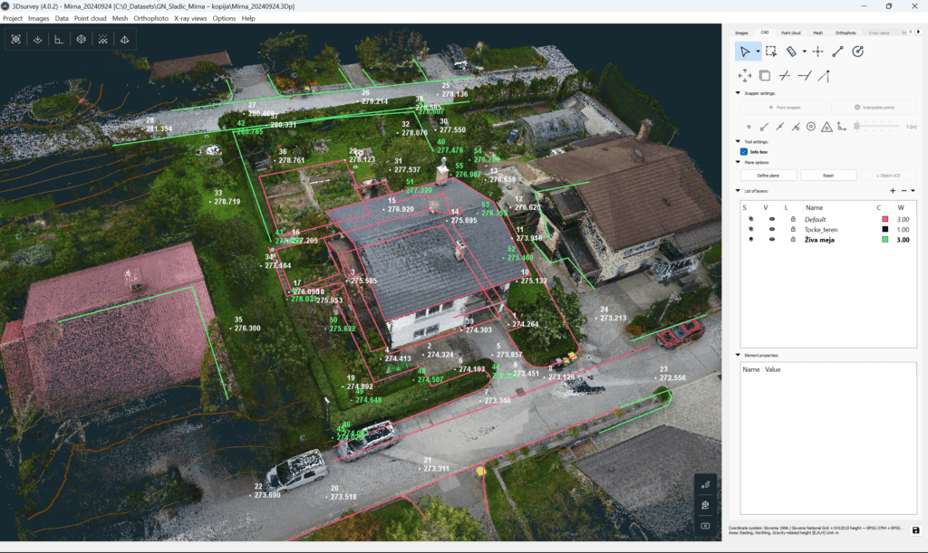
3D model of a house, vectorized in 3Dsurvey.
3D mapping in 3Dsurvey
The all-in-one advantage
3Dsurvey is built specifically for surveying, mining, and construction professionals who need efficient workflows, not bloated and overly complex software.
At 3Dsurvey, we believe 3D mapping software should support a true all-in-one workflow. Whether you’re capturing data with a drone for photogrammetry, walking a site with a SLAM scanner, or importing static LiDAR data, everything comes together in a single environment.
No switching between multiple programs just to complete one topographic map. No unnecessary complexity, just a practical workflow that takes you from raw data to final deliverables in one place.
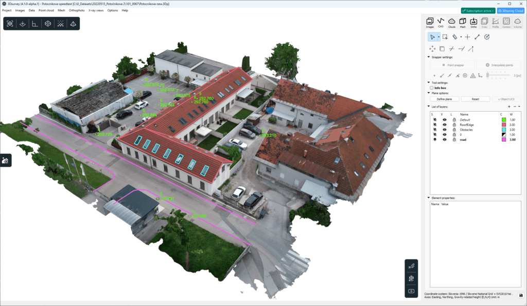
3D model of a house, vectorized in 3Dsurvey.
Conclusion
Having reliable 3D mapping software is essential for your professional confidence. You need to know your data is accurate, measurable, and ready for the client the moment you step out of the field.
Stop guessing and start mapping with absolute precision. Transform your raw field data into standard-setting deliverables today.
Start your 3Dsurvey software 14-day free trial now. No credit card needed.