We’re excited to present 3Dsurvey 4.2, the latest version of our all-in-one surveying and mapping software. In this release, we’ve packed in new features and refinements designed to make your workflows smoother, your results more accurate, and your presentations more impactful.
Join Marko, Matija and Vid as they guide you through the highlights of version 4.2, showing you exactly how these updates can help you get more out of your data, whether you’re in land surveying, construction, mining, or architecture.
What’s New in 3Dsurvey 4.2
Faster Bundle Adjustment
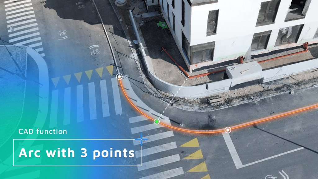
New CAD features (3 Point Arc; Join/Break/Explode; Snapshot/Backup)
3D mesh calculation for SLAM, airborne LiDAR and TLS point clouds (Scan Module)