Join us on our next FREE webinar
Come and grab a seat on our next free webinar and learn more about 3Dsurvey. We cover everything from the basics to advanced problem solving, along with the latest features.
Previous Webinars
- All
- 3D Documentation
- Architecture
- Basic
- CAD
- Classification
- Cloud
- Construction
- Contour Lines
- EXIF-GPS
- Features
- GCP
- Import
- Inspection & Public Safety
- Introduction
- Mining
- Orthophoto
- Pilot
- Planning
- Reports
- Surveying & Mapping
- Telemetry
- Tools
- Videogrammetry
- Volume Calculation
- What's New
- Workflow
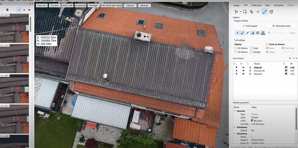
Dive into the innovative world of photogrammetry software and its pivotal role in the measurement and planning of solar panel…
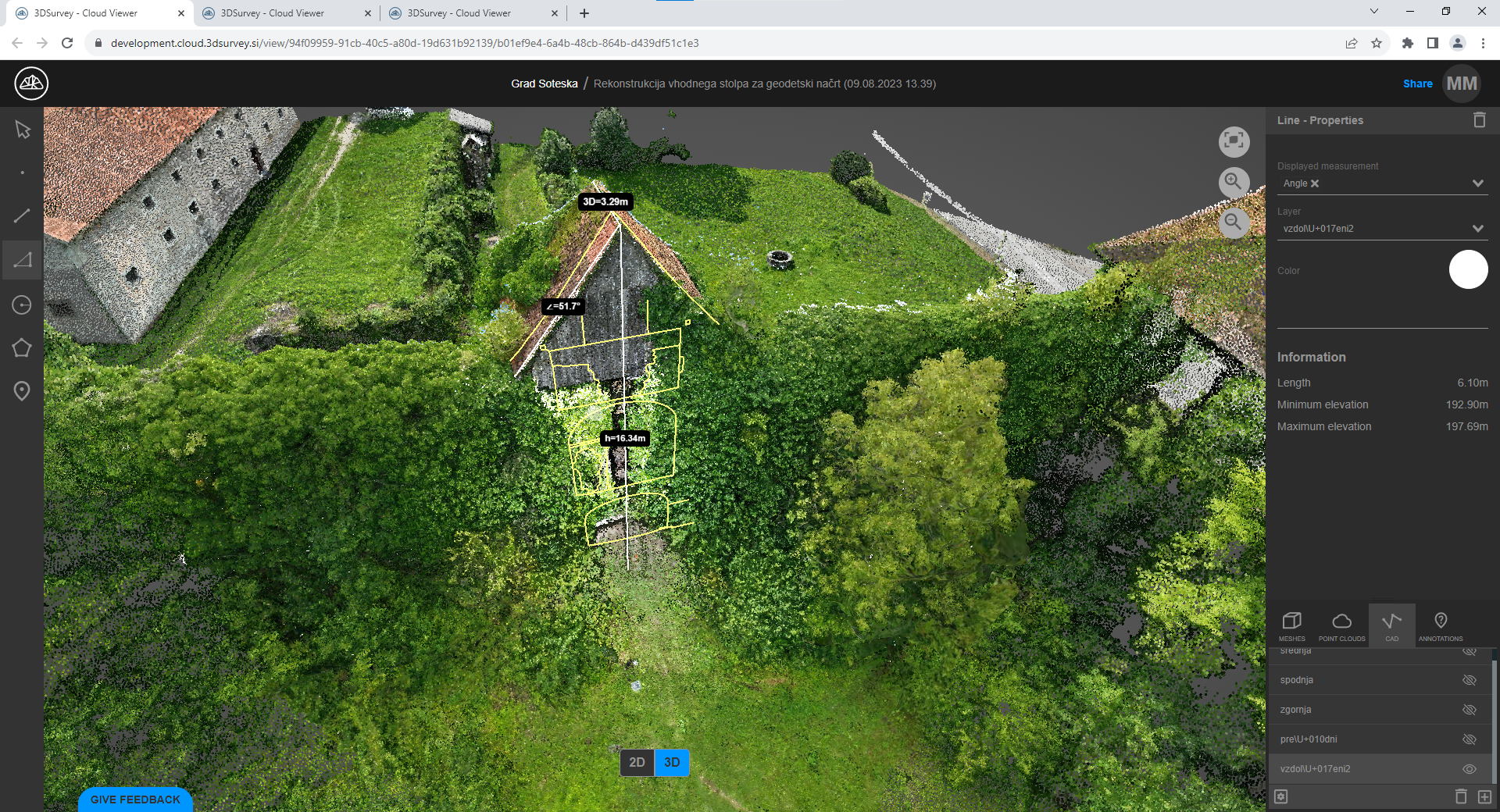
No more trouble sharing large projects via external providers like WeTransfer or Google Drive. We now introduce to you a…
Our much anticipated new version is soon to be released! Join us and find out all about 3Dsurvey 2.18 and…
Join us and find out all about 3Dsurvey 2.17 and how to use it to your advantage.
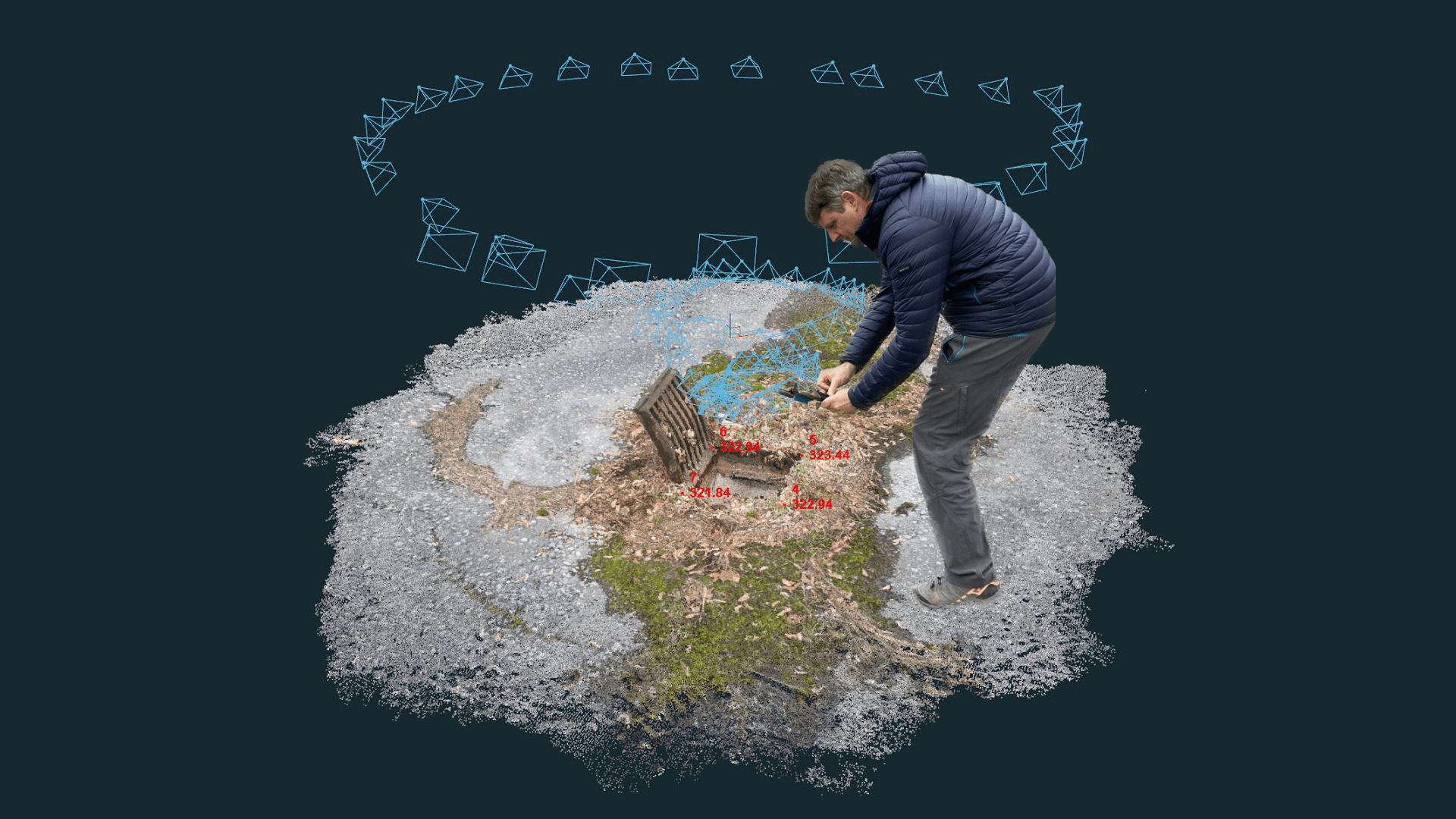
How to use The 3Dsurvey RTK Videogrammetry as a powerful tool for documenting and tracking construction progress.
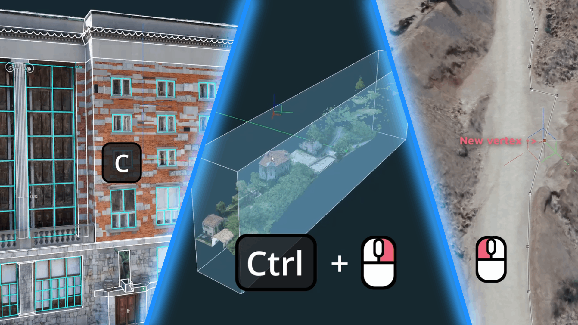
Learn how to speed-up your workflow, with little-known features in 3Dsurvey.
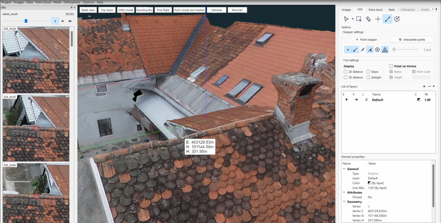
Having trouble with extracting hard reachable 3D points from the model? Not anymore! With 3Dsurvey latest update, there’s a new…
On 10 October 2022 we released 3Dsurvey version 2.16. Join us on the webinar and see the exciting new features we developed…
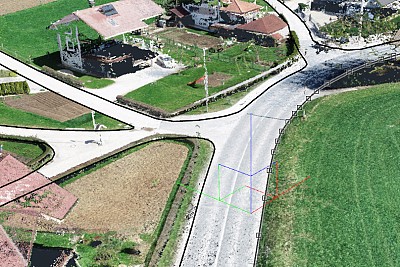
Technology drivers such as drones and photogrammetry software in the geospatial industry are creating the wind of change. Drone-mapping enables…
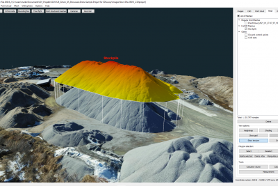
This is a call to industries like Construction, Mining, Agriculture, Utility and similar ones that in order to complete their projects, need…
![[Turkish] Görüntü İşleme ve Haritalama Çözümü](https://3dsurvey.si/wp-content/uploads/2022/06/hos_geldiniz.jpg)
Live webinar will be held in Turkish language. Agenda: Image procesing Calculating modüle Cad Functions Innovations Questions and…

We know that there are a lot of situations where a 3Dmodel is a crucial part of a project and…
![[Greek] Γνωριμία με το 3DSurvey – η φωτογραμμετρία στην εποχή των drones](https://3dsurvey.si/wp-content/uploads/2022/06/surveying-and-mapping.jpg)
This time we are hosting a Live webinar with our partner from Greece Tree Company Corporation A.E.B.E. Webinar will be hosted in Greeke…
![[German] Arbeiten mit 3Dsurvey](https://3dsurvey.si/wp-content/uploads/2022/06/002_just_awsome_3d_model_from_3dsurvey.png)
This time we are hosting a 3Dsurvey webinar in collaboration with our partner CADdy Geomatics Gmbh from Munich, Germany. Webinar will…
![[Slovenian] 3Dsurvey SMLEDNIK DIGITAL 2020: Učinkovito geodetsko delo z droni](https://3dsurvey.si/wp-content/uploads/2022/06/smlednikdigital_4.jpg)
Leto 2020 je leto nepričakovanih presenečenj in dogodkov, za katere nihče ni menil, da so možni. Vsakodnevno se soočamo s…
![[Slovenian] 3Dsurvey SMLEDNIK DIGITAL 2020: Osnove fotogrametrije z droni](https://3dsurvey.si/wp-content/uploads/2022/06/smlednikdigital_4.jpg)
Leto 2020 je leto nepričakovanih presenečenj in dogodkov, za katere nihče ni menil, da so možni. Vsakodnevno se soočamo s…
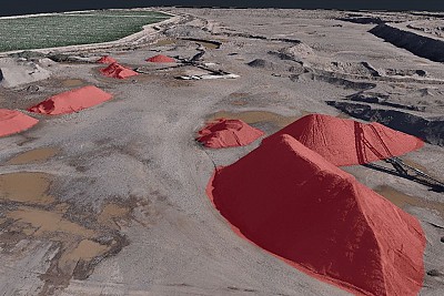
The use of unmanned aerial vehicles in geodetic surveying is becoming an increasingly common practice, which allows us to survey…
![[Croatian] Od ideje o kupnji drona do gotovog izvještaja o izrađenom elaboratu](https://3dsurvey.si/wp-content/uploads/2022/06/webinar-hr-od-ideje-o-kupnji-drona-do-gotovog-izvjestaja-o-izradzenom-elaboratu.jpg)
Upotreba bespilotnih letjelica u geodetskom snimanju postaje sve češća praksa, što nam dopušta da za nekoliko sati snimimo područja veća…
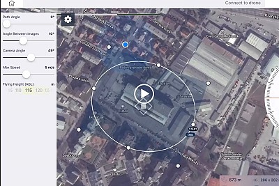
Mission planing in 3Dsurvey Pilot – best practice: 2D Orthophoto Volume calculation 3D model of a house Road mapping
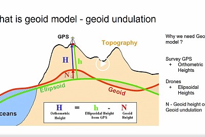
All about Geoid models: Why is geoid model important When should I use it How to import them in 3Dsurvey…
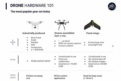
Find out everything you need to know about taking surveying to the next level How does 3D surveying compare to…
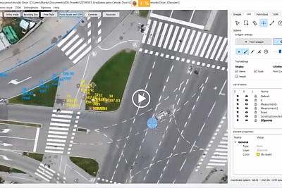
3Dsurvey is not just a processing software, it’s an all in one solution! During the webinar presentation we will show…
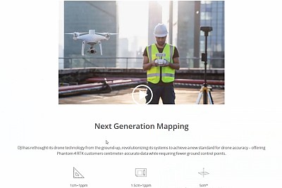
Check out how powerful is 3Dsurvey with the latest state of the art drone! In 45 minutes you will find…
![[German] Dokumentation einer Großbaustelle mit einer Drohne](https://3dsurvey.si/wp-content/uploads/2022/06/3dsurvey_slideshow_grobaustelle_1.jpg)
Webinar will be held in German language. Die Bauindustrie hat mit großer Ineffizienz zu kämpfen. Große Bauprojekte dauern in der…
![[Slovak] Využite dronovej fotogrametrie v každodennej geodetickej praxi](https://3dsurvey.si/wp-content/uploads/2022/06/1611778800483.jpg)
Webinar will be held in Slovak language. Webinár bude prebiehať v slovenskom jazyku. Moderné technológie zberu dát pomocou dronov DJI Enterprise a spracovanie…
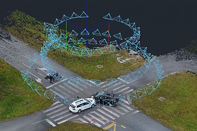
Hi guys, my name is Marko and I am a part of a 3Dsurvey Team. We have a VERY interesting free webinar…

Data captured from UAV’s has been in the industry for a while now, but a key part of any new…
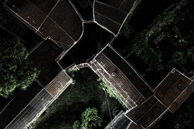
Hi guys, my name is Vid Peterman and I am a part of a 3Dsurvey Team. We have a extremely interesting free…
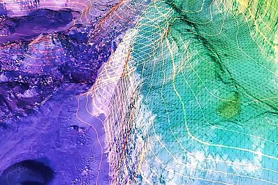
Surveyors are realizing bottom-line ROI with the right photogrammetric software. This webinar will feature 2 customers of 3Dsurvey software. They’ll…
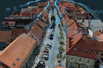
Archaeological conservationists play an important role in the monument protection service. Modern heritage protection encompasses more than simply the protection…
![[Spanish] Flujos de trabajo con 3Dsurvey, del campo al plano](https://3dsurvey.si/wp-content/uploads/2022/06/3dsurvey_webinar_delcampoalplano.jpg)
En este seminario web cubriremos los conceptos básicos de la fotogrametría y pasaremos por las principales etapas del procesamiento de…
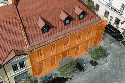
Architects and engineers are often dealing with heritage conservation projects. The fundamental need of any conservation project is understanding the object and…
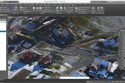
This webinar is a result of our close cooperation and deep communication with our clients which usually use AutoCAD for…
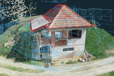
In some situations you may want to improve your 3D model captured by UAV images with close range images taken…
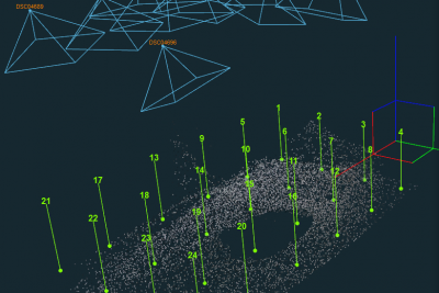
Camera calibration is the process of finding the true parameters of the camera that took your images. Camera parameters are the parameters used…
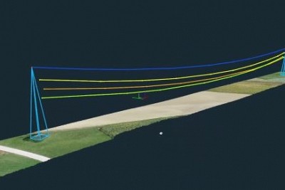
In this webinar we will guide you through surveying solution for utilities, providing faster and safer site surveying, with a high…
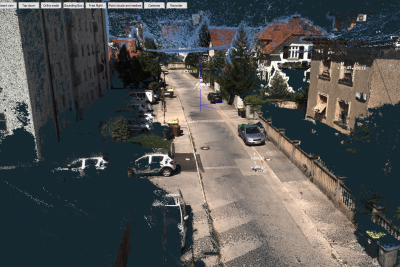
3Dsurvey software is a powerful tool that enables you various ways for data input. Usually we are showing you how…
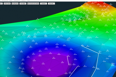
Surveying professionals are often challenged by different terrains and various project requirements. There are situations where photogrammetry data is not…
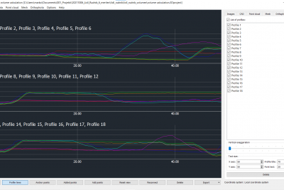
Ability to run multiple point clouds or meshes in a single project offers you an option to timeline your projects…
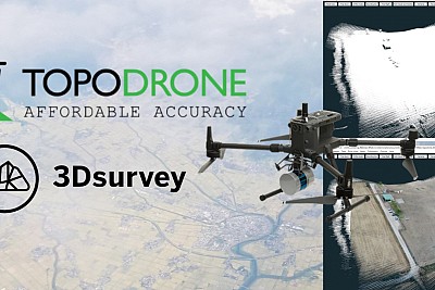
LIDAR point cloud from a drone or terrestrial laser scanner usually comes without realistic colors, representation is therefore limited. With…
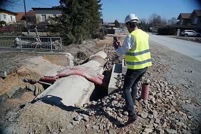
A surveyor documenting infrastructure often faces the problem of arriving on the field too late, when the infrastructure is already…
On 2 February 2022 we are releasing 3Dsurvey version 2.15. Join us on the webinar and see the exciting new features we…
Get a preview of the new and improved 3Dsurvey version 2.14. The new version was released on 22 October 2021.…
We released 3Dsurvey version 2.13 on 8th April 2021. Watch the webinar and see the exciting new features we developed to make…
2.10 version of 3Dsurvey released on 12 October 2020 offers a lot of new exciting functionalities such as:
During the webinar we will check TOP 5 features we added in 3Dsurvey 2.9.0 version:

