5 Expert Tricks for Creating Survey Maps in 3Dsurvey
5 Tricks you need to know
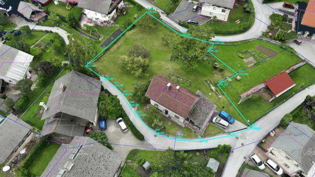
Creating a survey map can be a time consuming task. Traditional CAD software struggles to visualize all the data, and most photogrammetry engines lack accurate drafting tools. 3Dsurvey combines best of both worlds, bringing CAD tools into photogrammetry.
In this webinar, we’ll cover:
Extracting building corners with the help of plane lock feature
Drawing perpendiculars lines with length input function
Using ground orthophoto to see beneath the trees and roofs
Special tools for floor plan finalization (trim, extend, intersect)
Aligning 2D CADelements with 3D surface models
You’ll learn essential workflow tricks that will optimize how you produce survey maps – saving you time, increasing accuracy, and improving the quality of your deliverables.
Webinar details
Date: 21 May 2026 Time: 2pm – 3pm CEST Platform: GoTo Webinar