• Home
  • Webinars
  • New CAD tools in 3Dsurvey

New CAD tools in 3Dsurvey

New CAD tools in 3Dsurvey

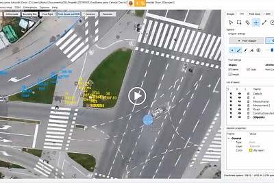
3Dsurvey is not just a processing software, it’s an all in one solution! During the webinar presentation we will show you the most effective workflow to:

  • connect 3D lines
  • create spot elevation points
  • measure distances, heights, angles,…
  • import traditional survey points
  • export results for 3rd part CAD software
Facebook
X
LinkedIn

Subscribe to our newsletter

What’s new in the field? Stay up to date with our newsletter!

DISCOUNT

15% on yearly subscription

Validity:
11 June – 22 June, 00:00 CET
(+8 hours for the US)

Days
Hours
Minutes
Seconds

You will be redirected to store.3dsurvey.si

NEW WEBINAR

Modern Geological Workflows with 3Dsurvey

24th September 2026
2pm CEST

Days
Hours
Minutes
Seconds

You will be redirected to GoToWebinar to register.