
The project
Surveyors Source LLC from Arizona was contacted to conduct a survey of a property in Tuscon, AZ which was going up for sale. The client requested information about water drainage on the property.
The decided to do the survey using a drone and photogrammetry. They flew with a DJI Mavic 2 PRO.
Flight planning
For professional autonomous drone flight software – 3Dsurvey Pilot was used. The flight took less than 10 minutes and the result were high overlap images – more than 70% in side and front overlap. Approximately 400 photos were taken with a combination of circular flights around the hill and some nadir shots to create a good orthophoto. After the field work was finished the processing step continued in office.
Processing
For this project the most important result was an accurate Digital Elevation Model (DEM). The DEM provides information about where the water was draining on the property. DEM contour lines helped to define the terrain characteristics and orthophoto. With the combination of a full realistic 3D model they were able to design additional changes.
3Dsurvey functions
To work efficiently the following integrated functions in 3Dsurvey software were used:
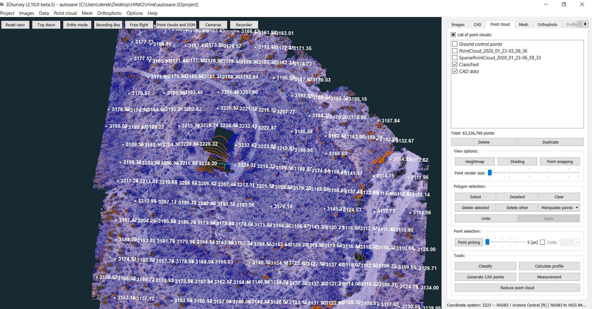
Automatic classification – to extract terrain points
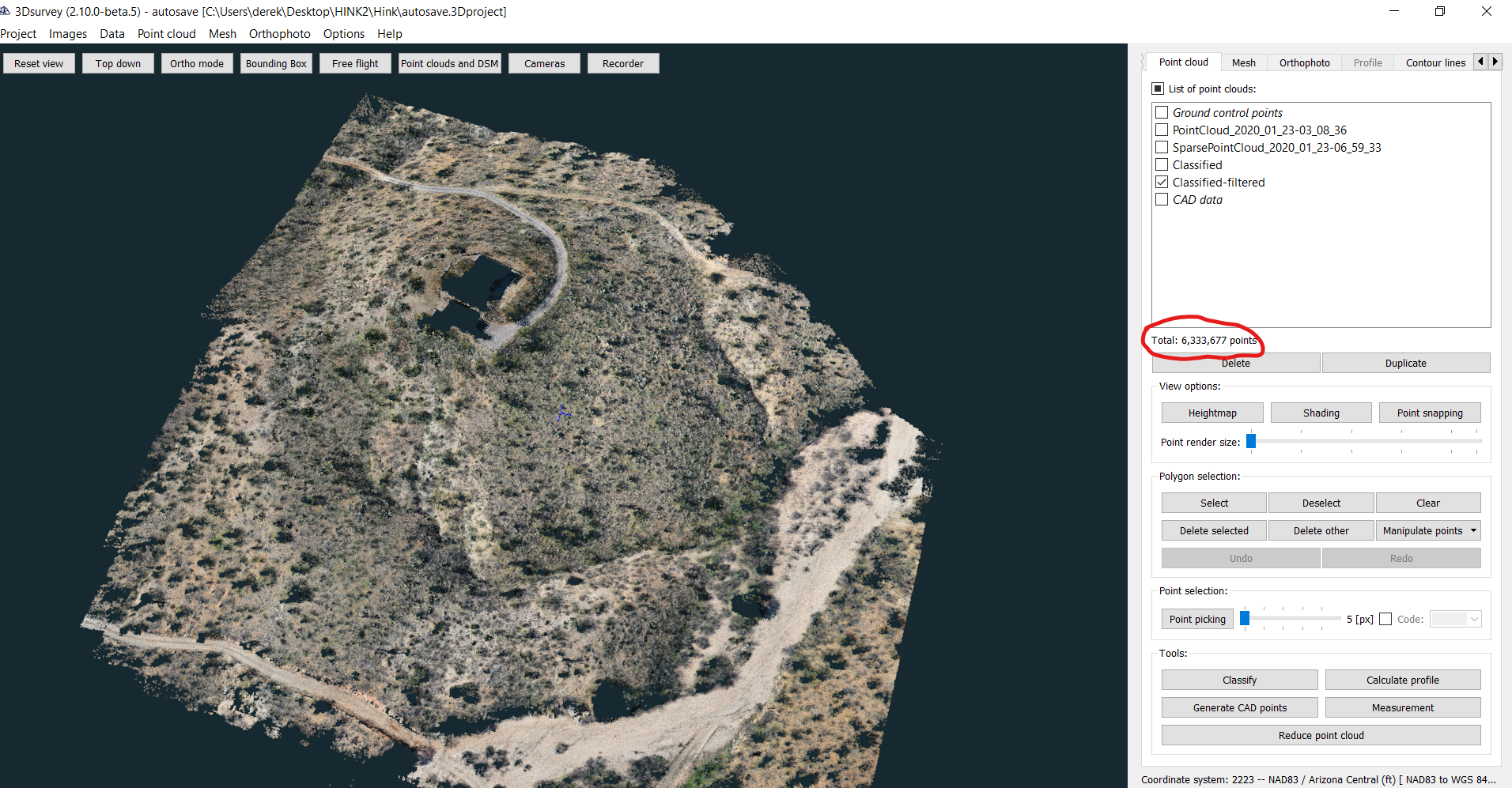
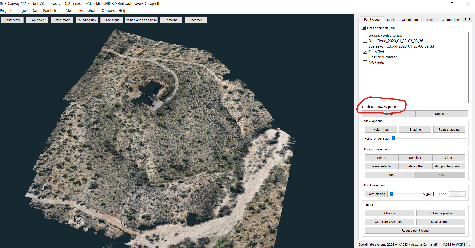
Point cloud reduction – since the computer used for processing was not the strongest (and because there was no need to work with 63 million points), the number of points was reduced to 10%
Automatic CAD points extraction – tools to extract the lowest point based on a predefined radius were used to see the height on specific areas
Contour line creation