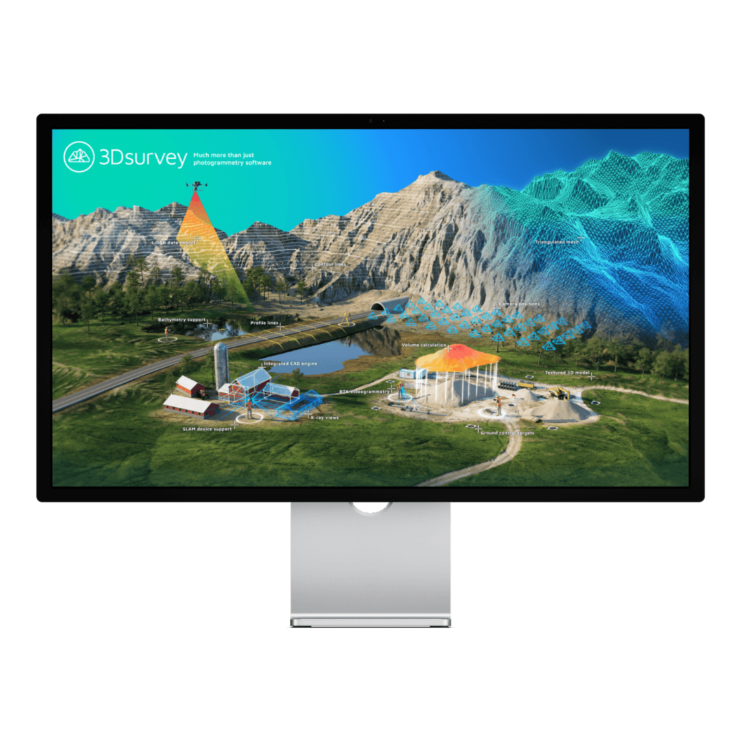
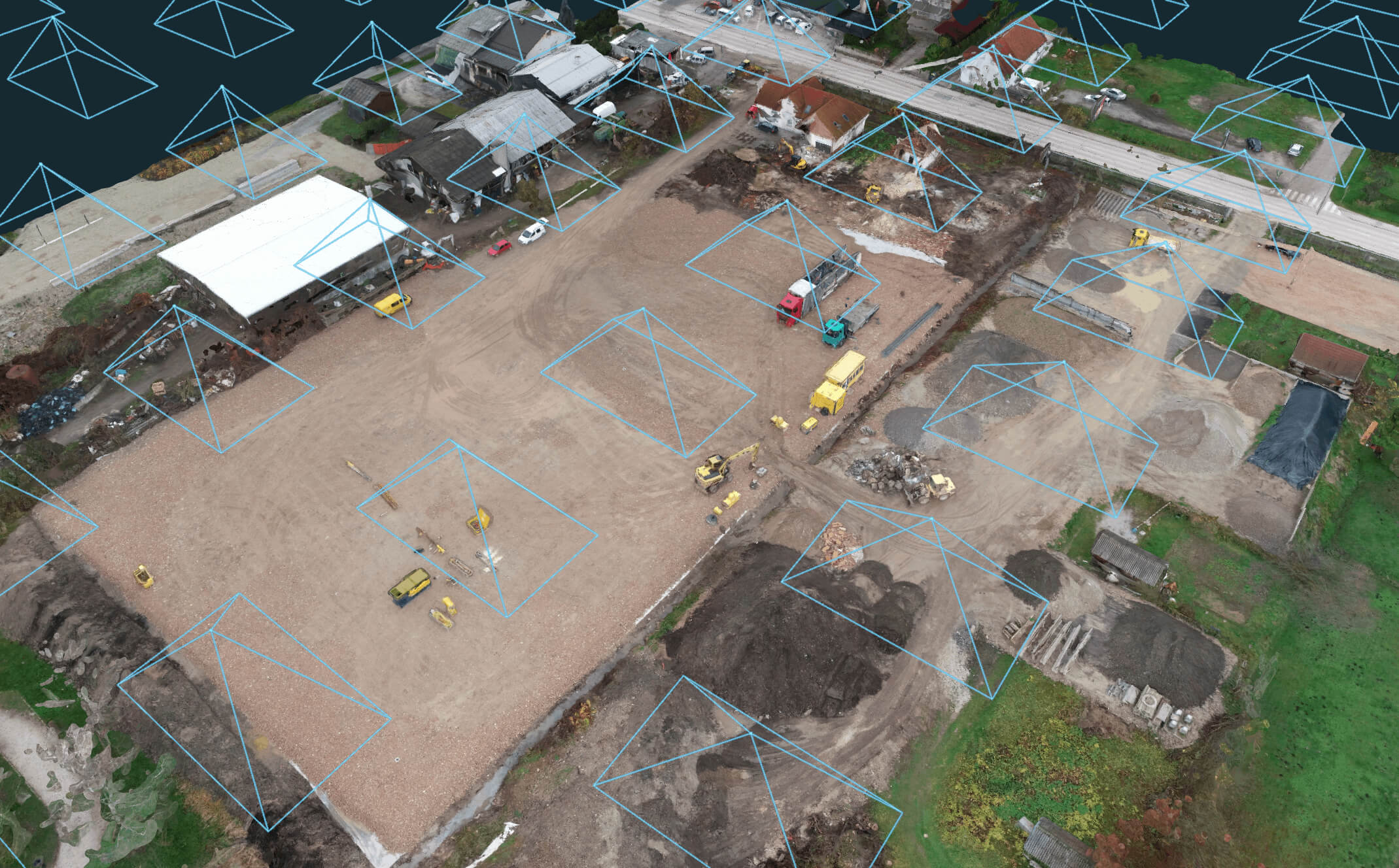
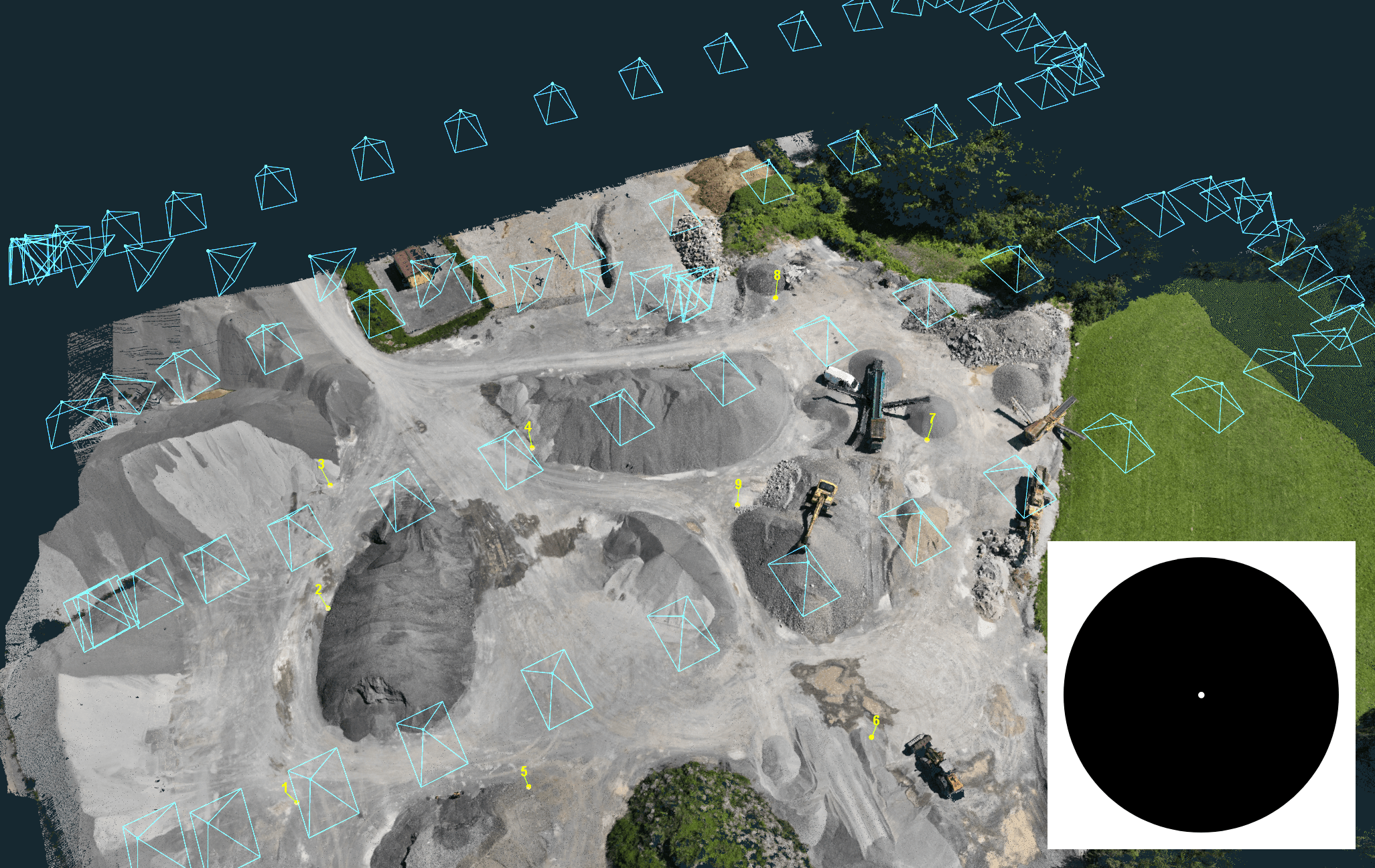
Stay up to date with new versions and features Home Resources Downloads DOWNLOAD TUTORIAL DATASETS GEOID MANUALS OTHER Download the latest version 3Dsurvey v4.1.1 Windows 141 MB Linux 205 MB Download FREE 3Dsurvey Pilot app iOS Android Part of RTK Videogrammetry module 3Dsurvey SiteScan app DOWNLOAD Download FREE 3Dsurvey Viewer DOWNLOAD TUTORIAL DATASETS Test your skills with our demo datasets! Construction Site Drone: DJI Phantom 4 RTK DOWNLOAD (1.14 GB) Gravel Pit Drone: DJI Matrice 4 DOWNLOAD (552.20 MB) Geoid Only relevant for versions older than 3.0. Geoids can also be found in user Dashboard. Asia & Pacific Australia (24.59 MB)New Zealand (11.87 MB)South KoreaTurkey Europe AustriaBaltic and Nordic area (9.83 MB)BelgiumDenmarkFranceFinlandGermanyHrvatskaIcelandIles françaisesItalyIrelandLithuaniaNorwayPolskaPortugalRomaniaSlovakiaSpainSverigeSlovenia AGM2000Slovenia Koper GeoidSouth Tyrol Latin America ArgentinaCosta RicaEcuadorMexico North America Canada (28.08 MB)US G2012 (24.81 MB)US G2018 (19.29 MB) Russia Russia (55.01 MB) South Africa South Africa MANUALS Manuals for downloading: 3Dsurvey User Manual PDF, 18 MB Ground Control Points (GCP) setup PDF How to plan a flight for Digital Orthophoto generation PDF 3Dsurvey Pilot – Step by step instruction to plan your mission using DJI Drones PDF GCP vs Detail Points benefit explanation PDF Advanced Classification Parameters Guide PDF List of Shortcuts 2025 PDF Drone Mapping Guide 2025 PDF, 44.6 MB OTHER More downloads: 3Dsurvey Brochure PDF NEW Ground control targets ZIP 3Dsurvey GCP 27cm PDF AprilTag mat (metric) ZIP AprilTag mat (imperial) ZIP AprilTag targets ZIP RTKV How to Record Guide PDF 3Dsurvey Info Sheet PDF NEW What's new READ MORE What’s new in 3Dsurvey 4.1 Updates READ MORE What’s new in 3Dsurvey 4.0 Updates READ MORE What’s new in 3Dsurvey 3.1 Updates READ MORE What’s new in 3Dsurvey 3.0.1 Updates READ MORE What’s new in 3Dsurvey 3.0 Updates READ MORE What’s new in 3Dsurvey 2.18.1 Updates READ MORE Free Trial - Fully functional, no limitations - for 14 days Check out all the features and additional modules of 3Dsurvey software and see if it fits your needs, then choose the appropriate licence. Get started for free The best way to really test the power of 3Dsurvey! START 14-DAY FREE TRIAL Pricing Flexible options, affordable pricing, tailored to your needs. FIND OUT MORE All-in-One solution Onboarding training included Supports 18 languages Subscribe to our newsletter What’s new in the field? Stay up to date with our newsletter! STAY IN THE LOOP


")


 All-in-One solution Onboarding training included Supports 18 languages


