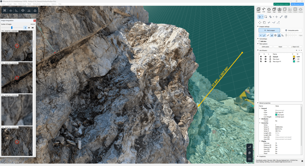
Geologists tackle a wide range of fieldwork. From mapping hard-to-reach locations, monitoring landslides, overseeing geotechnical construction sites, managing quarries and open-pit mines. Even this traditionally hands-on science, bound to tools like hammer, compass, and paper maps, can greatly benefit from modern technology.
By integrating 3Dsurvey workflow, geologists can: ✔ Reduce time spent in the field ✔ Catalogue projects digitally with abundance of data ✔ Perform analysis and measurements from the office ✔ Prepare basemaps and documentation efficiently
Beside classic photogrammetric workflow with drone images, we will showcase the results obtained by drone mounted LiDAR sensor, smartphone capture possibilities and more.
Watch the webinar to learn how you can:
Conduct landslide and slope analysis with modern technology
Monitor geotechnical construction sites (Temporal Terrain Monitoring)
Use RTK videogrammetry for geological mapping
Optimize mining operations (Volume calculations)
Organize a catalogue and share data via the cloud
Join us to explore how 3Dsurvey can modernize your geological workflows! 🚀
Webinar Details
Date: 24 September 2026 Time: 2pm – 3pm CEST Platform: GoTo Webinar