Top photogrammetry software for drone mapping: A comparison review
Key takeaways
Choosing the right top photogrammetry software options for drone mapping depends on your workflow, industry, and data sources.
3Dsurvey is the most complete all-in-one solution for surveying and mapping.
DJI Terra is ideal for speed and mesh quality, while RealityScan is free to use for individuals and small businesses.
Pix4D offers a powerful toolkit across industries but can be expensive.
Metashape delivers robust performance for large projects, and Virtual Surveyor is excellent for survey extraction tasks.
Understanding each platform’s strengths and limitations helps you pick the software that fits your project needs.
Introduction
Choosing the right mapping or surveying software today can feel overwhelming. The market is filled with powerful tools—each offering its own mix of strengths and limitations. Below is a practical, high-level comparison of some of the most widely used photogrammetry and surveying solutions. The goal is not to crown a winner, but to give readers a balanced perspective on what each platform does best and where it may fall short. Many professionals exploring top photogrammetry software for drone mapping will find these differences especially important
RealityScan
RealityScan has built a strong reputation for its high-quality 3D mesh reconstruction and impressive ability to combine photogrammetry with laser-scan data. For many users, the biggest advantage is that the software is free for individuals and small businesses that made less than $1 million USD in revenue in the past 12 months, educational institutions, and students.
On the downside, the otherwise sleek interface can feel unintuitive, especially for survey professionals who need structured workflows. It also offers no CAD tools, meaning that surveying, construction, or mining users will almost always require a second software to complete deliverables. This comparison matters even more when evaluating the top photogrammetry software for drone mapping.
Pros:
Excellent meshes
Fast reconstruction
Affordable
Cons:
Not user-friendly
Lacks CAD/survey tools
Requires additional software for end results
DJI Terra
DJI Terra stands out for its fast processing and simple workflow — ideal for quick visualizations and users who want a “one-click” solution. It produces attractive 3D models and is an easy entry point for beginners.
However, its simplicity comes with limitations. The software provides very few advanced settings and almost no specialized tools for surveying, construction, or mining. Point cloud quality tends to be below average, and most professional users will need a second software to finish real-world deliverables.
Pros:
Very fast
Simple to use
Good for visualization
Cons:
Weak survey tools
Limited advanced settings
Lower-quality point clouds
3Dsurvey
3Dsurvey differentiates itself by offering much more than a photogrammetry engine. It combines reconstruction, full CAD capabilities, and specialized surveying tools — all in one environment. Users can import and merge multiple point clouds, meshes, orthophotos, and data from aerial, terrestrial, LiDAR, SLAM or RTK video sources. Features like volumes, contours, breaklines, profile lines, and automated reporting make it a strong “all-in-one” solution. Cloud sharing (up to 75 GB) is included at no extra cost, and the company is known for having the best, truly personal support — even a real phone number to call.
The trade-offs: it is not the fastest engine, and although optimized for projects up to about 5000 images, larger datasets may require heavier hardware.
If you want to know more about 3Dsurvey, you can everything about it in this blog post.
Pros:
All-in-one workflow
Strong CAD & survey tools
Supports many data sources
Excellent product support
Cons:
Not the fastest
Hardware demanding on large projects
Top photogrammetry software for drone mapping also includes a measure area tool.
Pix4D
Pix4D is a widely recognized brand in photogrammetry, supported by strong marketing and a broad global user base. The product family covers nearly every industry: surveying, AEC, agriculture, inspections, forensics, and more. This specialization can be extremely powerful for organizations working across multiple domains.
However, the ecosystem includes too many separate products, which means users often need multiple licenses to achieve a single deliverable (e.g., PIX4Dmatic + PIX4Dsurvey for mapping workflows). Processing is solid but not the fastest, and the overall cost is expensive compared to alternatives.
Pros:
Widely adopted
Industry-specific tools
Strong brand and training resources
Cons:
Many different products
Expensive
Slower processing
Virtual Surveyor
Virtual Surveyor is focused on survey-oriented data extraction, offering tools for creating lines, points, breaklines, and surfaces. Its automation features accelerate post-processing, making it a handy companion to photogrammetry engines. However, it only works in 2.5D and does not provide support for true 3D datasets.
Unfortunately, it is available solely through a subscription model, meaning you can rent it but not purchase it outright. The subscription covers two applications: the first supports generating DSMs and orthophotos from imagery, while the second focuses on feature extraction.
Because it does not include a full photogrammetry engine capable of producing dense point clouds or 3D meshes, it imposes certain limitations. This becomes a drawback if you need to measure objects located under roofs, tree canopies, or other obstructed areas.
Pros:
Strong extraction tools
Survey-focused workflows
Efficient post-processing
Cons:
No 3D support
Basic reconstruction tools
Requires another software for photogrammetry
Metashape
Metashape is known for its robust photogrammetry engine, capable of processing large datasets with high stability and speed. It’s a strong performer for both aerial and terrestrial workflows and supports combining laser-scan point clouds with photogrammetry. The price/performance ratio is good.
However, the software is not designed with a surveying-first mindset. While it includes some CAD-like features and basic volume calculations, they are too limited for professional surveying or construction workflows. Support is also mostly community-based, with no direct one-to-one assistance.
Pros:
Powerful
Stable
Handles very large projects
Good value
Cons:
Limited survey tools
Lacks dedicated support
CAD features are basic
How to choose the top photogrammetry software for drone mapping?
Each software brings something valuable to the table, but when comparing the top photogrammetry software for drone mapping these are the specifics to consider:
DJI Terra excels in speed and simplicity.
RealityScan is free for individuals and small businesses.
Pix4D offers a massive toolkit — if you’re ready to manage multiple products.
Metashape delivers robust performance at a good price.
Virtual Surveyor is a strong extraction companion.
3Dsurvey stands out as the most complete all-in-one surveying workflow.
The right choice depends on your workflow, industry needs, and whether you prefer specialized tools or an integrated environment.
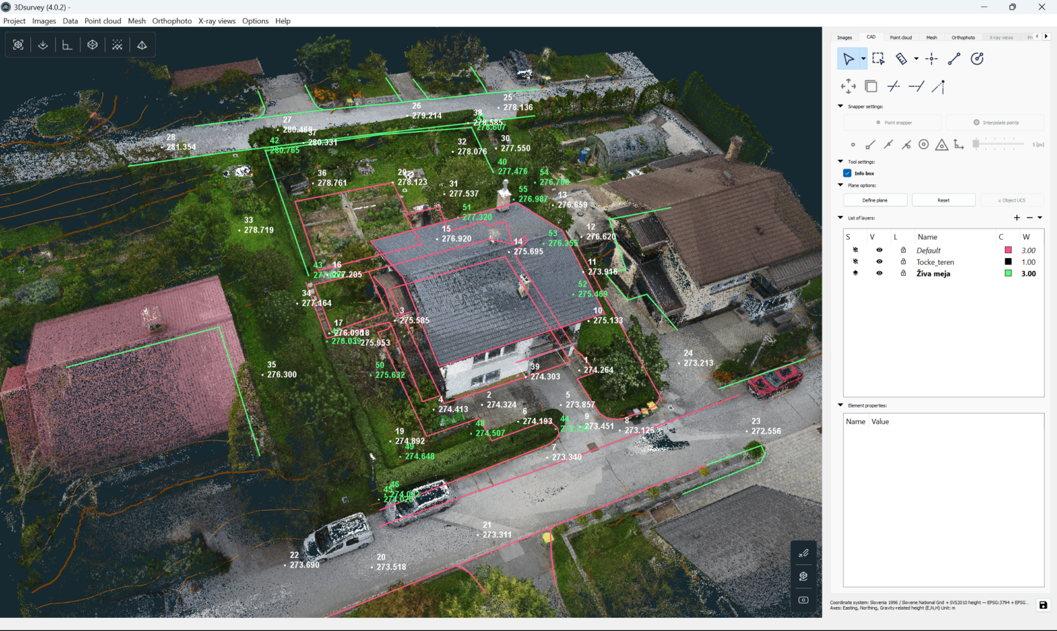
CAD vectorisation in 3Dsurvey software.
If you want to give 3Dsurvey a go, we offer a 14-day free trial, where you can get familiar with all the features. We also offer a bunch of free tutorials, webinars, case studies and blogs to help you master the software in no time.