River embankment mapping for a Hydropower Plant in Boštanj
Key takeaways
Drone photogrammetry was used to map the river embankment at the Boštanj hydropower plant.
Ground control points (GCPs) were used to accurately georeference the embankment data.
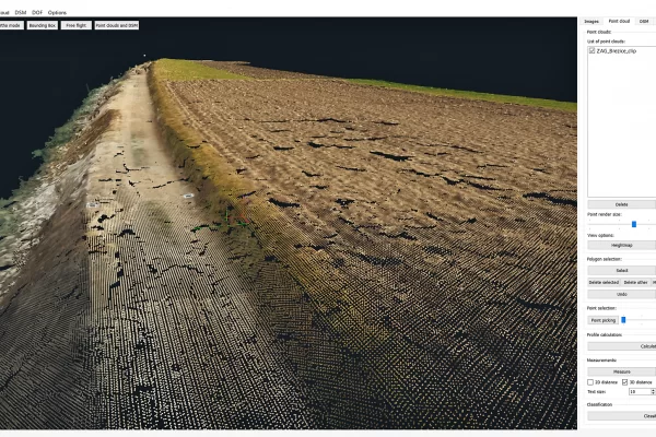
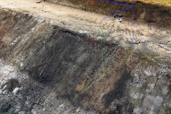
Created a detailed 3D point cloud and mesh of the embankment surface.
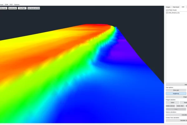
Generated cross-sections and elevation profiles to analyze the embankment’s geometry and integrity.
The model supports monitoring embankment stability, detecting deformations, and planning maintenance.
The workflow provided hydropower engineers with precise, high-resolution spatial data for structural safety assessments.
Introduction
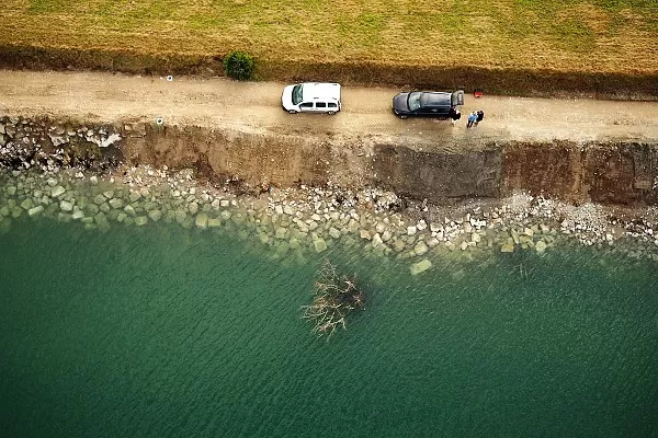
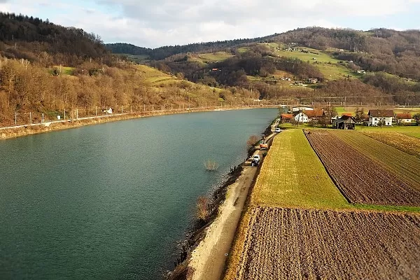
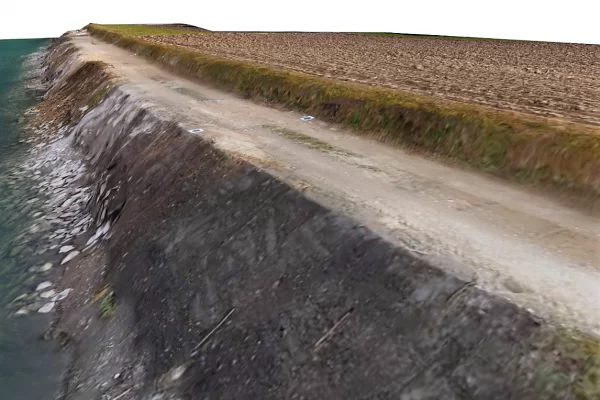
For the client, the Slovenian National Building and Civil Engineering Institute (ZAG), we performed photogrammetric measurements by drone mapping a 400-meter stretch of the Sava river embankment. The canal is part of the Hydropower Plant (HPP) Boštanj, located a few hundred meters downstream.
Objective
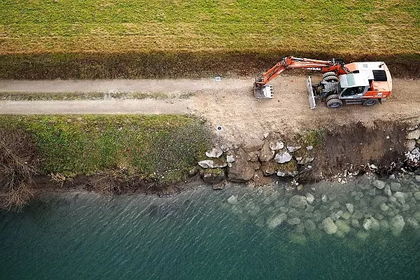
High water levels and increased water flow due to heavy rainfalls damaged the river embankment that leads down to the HPP. The objective was to map the already rehabilitated section of the bank as well as damaged parts and generate 2D and 3D geo-referenced models. These models would later serve as the basis for further reconstruction and repair projects.
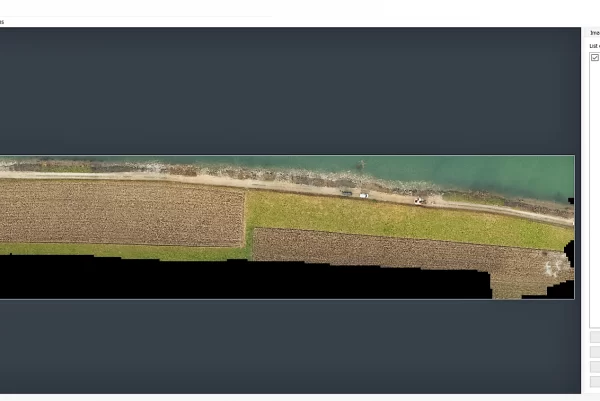
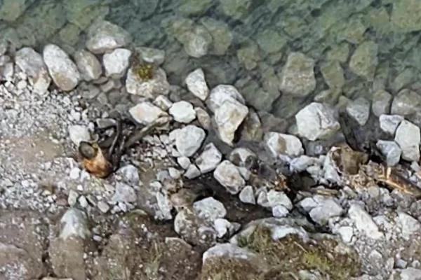
Sava river bank details
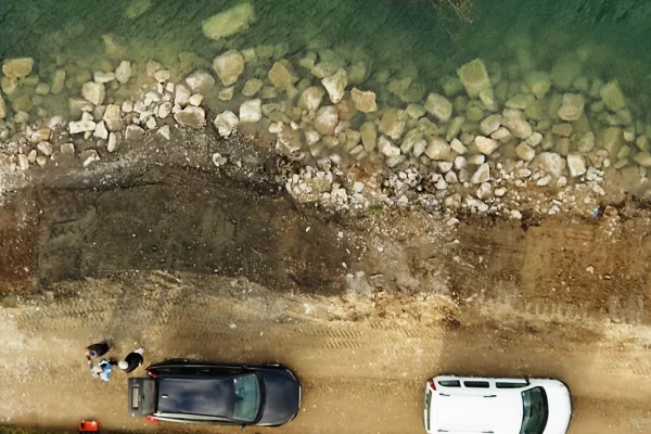
Sava river bank reconstruction
Data Acquisition
We flew our DJI drone to the altitude of 40 meters to capture high-resolution images. We set the image overlap to 60% horizontal and 75% vertical. Positioning accuracy was achieved through 10 ground control points we placed using GPS.
The embankment itself was steep and eroded in some places. Details required for a successful completion of our project were difficult to acquire through vertical aerial photography alone. We had to take a series of images of the bank at an angle and that helped us get the textures and details we needed to properly document the location.
It was a beautiful sunny winter day but we still processed our data from the comfort of our office and let 3Dsurvey do all the hard work.
Calculated point cloud
Results
Check out the gallery for some of the photos of the area and screenshots of 3D models we’ve been able to create purely from images. Drone-based mapping and photogrammetry again proved to be the right approach.
Tools:DJI S900 drone at 40m altitude, Olympus EPL7 Positioning: GPS used to place Ground control points Software:3Dsurvey