Key Takeaways
Land surveying is essential for accurate property boundaries, legal ownership, and safe construction.
A land surveyor combines technical precision, legal knowledge, and geospatial expertise to ensure reliable spatial data.
Surveyors handle a wide range of tasks — from cadastre management and building registration to engineering surveys, condominium documentation, and 3D mapping.
Modern remote sensing and GIS systems make land surveying faster, more efficient, and data-driven.
Whether you’re planning construction, buying property, or updating ownership records, professional land surveying ensures every step is precise, transparent, and compliant with regulations.
What does a land surveyor do?
A land surveyor is a professional who ensures the orderly management of land, accurate measurements, and reliable data about properties, buildings, and infrastructure. Their work is essential for construction projects, property registration, spatial planning, and legal ownership records. Land surveyors combine expertise from engineering, law, real estate, and geoinformatics to provide trustworthy spatial information.
The field of land surveying plays a key role in ensuring that every structure and property is precisely measured, documented, and legally protected.
1. Land and cadastre management
Land surveyors are responsible for managing parcels in the land cadastre, which is the official register of land, buildings, and property rights.
This system ensures transparent ownership, accurate land records, and efficient property management.
Common land surveying services include:
- boundary demarcation and boundary adjustments,
- land subdivision and consolidation,
- determination of easements and building rights,
- preparation of cadastral maps and parcel identification certificates.
Through precise land surveying, surveyors create the foundation for secure property ownership and transparent real estate transactions.
2. Building registration and updates
For every building, a surveyor prepares documentation for registration in the land cadastre, which contains details on location, floor area, use, and ownership.
This process includes:
- registration of new buildings or multi-unit buildings (condominium plans),
- defining the associated land parcel,
- updating existing building records,
- obtaining an official house number.
The building cadastre serves as the basis for condominium ownership, ensuring fair allocation of shared areas and clear property rights.
Land surveying helps maintain consistent and accurate records that support the legal property registration process.
3. Engineering surveying - Supporting construction
Every construction project begins with a topographic survey or geodetic plan. Land surveyors provide an accurate representation of existing conditions and ensure that construction proceeds in line with the approved design and regulations.
Engineering land surveying services include:
- site layout and staking of buildings or utility networks,
- construction supervision and geodetic control,
- monitoring of deformations and settlements,
- surveying public utility infrastructure.
These land surveying services ensure that construction projects are carried out precisely, safely, and efficiently.

4. Condominium ownership and legal procedures
Land surveyors also assist with the legal and cadastral documentation required for property registration.
This includes:
- establishment or completion of condominium ownership,
- division of joint ownership,
- preparation of documentation for non-contentious legal proceedings,
- support in property-related legal and notarial processes.
The result is properly registered property ownership, enabling legal sales, mortgages, or inheritance proceedings. Professional land surveying ensures that every step complies with current legislation.
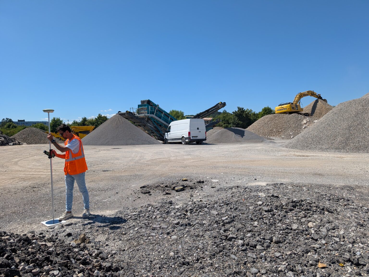
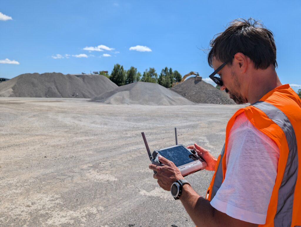
5. Remote Sensing and 3D Mapping
Using modern technologies such as laser scanning and drone-based photogrammetry, surveyors collect high-precision 3D spatial data.
Applications include:
- monitoring construction sites and open pits,
- calculating excavation or fill volumes,
- creating realistic 3D terrain and building models,
- producing orthophotos and visual documentation.
Remote land surveying is fast, accurate, and cost-effective, and complements traditional ground surveying. For this some sort of a software is needed. If you want to understand how photogrammetry software works, click here.
You can also try our software for 14 days free of charge and then see for yourself why 3Dsurvey software is the best photogrammetry software in 2025.
6. Geospatial and Information Systems
Surveyors often design and manage geospatial information systems (GIS) that integrate data from multiple official sources, such as cadastral, land registry, and municipal spatial plans.
These systems are used for:
- managing real estate portfolios,
- optimizing property-related taxes,
- supporting decision-making in both public administration and business sectors.
In modern practice, land surveying data is essential for accurate GIS management and smart spatial planning.
Conclusion
A land surveyor is much more than a “person who measures land.” They are experts in land surveying who connect engineering precision, legal certainty, and modern technology.
Their work ensures that boundaries are correctly defined, buildings legally registered, construction safe, and spatial data accurate.
If you’re planning a construction project, need to define property boundaries, or want to regulate ownership – a land surveyor is your first and most important partner as well.
We could conclude that land surveying is the foundation of all responsible land management and development.

