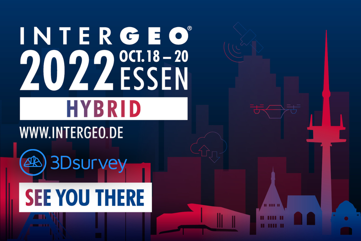
INTERGEO is the world’s leading expo and conference platform for geoinformation, geodata and future-oriented applications. This year, it will take place in a hybrid version so don’t worry if you can’t take time to come to Germany. You can visit it online! And we will provide free tickets for our partners so make sure you reach out to us through our email: info@3dsurvey.si.
The 2022 INTERGEO Conference reflects the motto “Inspiration for a Smarter World” in all its facets. It highlights current developments in surveying: from spatial reference and positioning to 4D geodata and Geospatial IoT to mobile mapping applications. Trend topics such as Building Information Modeling (BIM) and the diverse application possibilities of the Digital Twins, but also the current requirements for the Smart City and rural areas have their fixed place in the Conference. In the context of climate change, the digital collection of data via remote sensing satellites, UAV, TLS or other sensors offers opportunities and solutions for the more sustainable interaction of humans with nature. The focus will also be on tomorrow’s technology trends and the importance of digital realities.
In terms of content, the Digital Twins will be a matter of particular importance in 2022. The focus will be on their use in Building Information Modeling, smart planning and construction. They also play an important role in the further development of urban data platforms in the context of smart cities and their diverse applications. And in the context of innovation and sustainability, they are becoming increasingly important. Modeling and simulation are particularly essential for predictions and scenarios in the event of disasters. Rapid access to the latest geodata by a wide range of departments also plays a major role. And in the area of mobility, digital twins serve as a basis and permanent source of information.
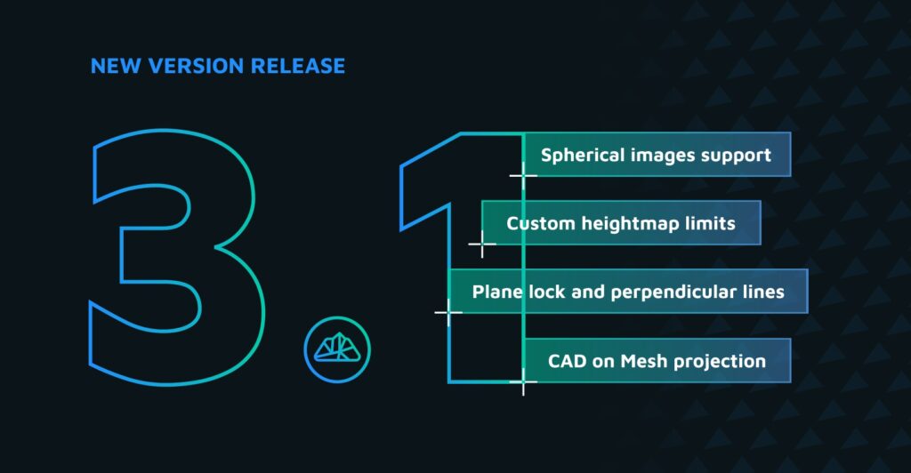
3Dsurvey will present latest and greatest software updates, which offer lot of exciting functionalities as:
- Full 3D textured mesh
- True orthophoto
- Regular and irregular mesh support
- Automatic CAD points generator
- Improved shading options and heightmap options
- … and a lot more
We will showcase the latest projects, novelties in drone mapping, LIDAR mapping, surveying, data compatibility and 3D surveying technology.
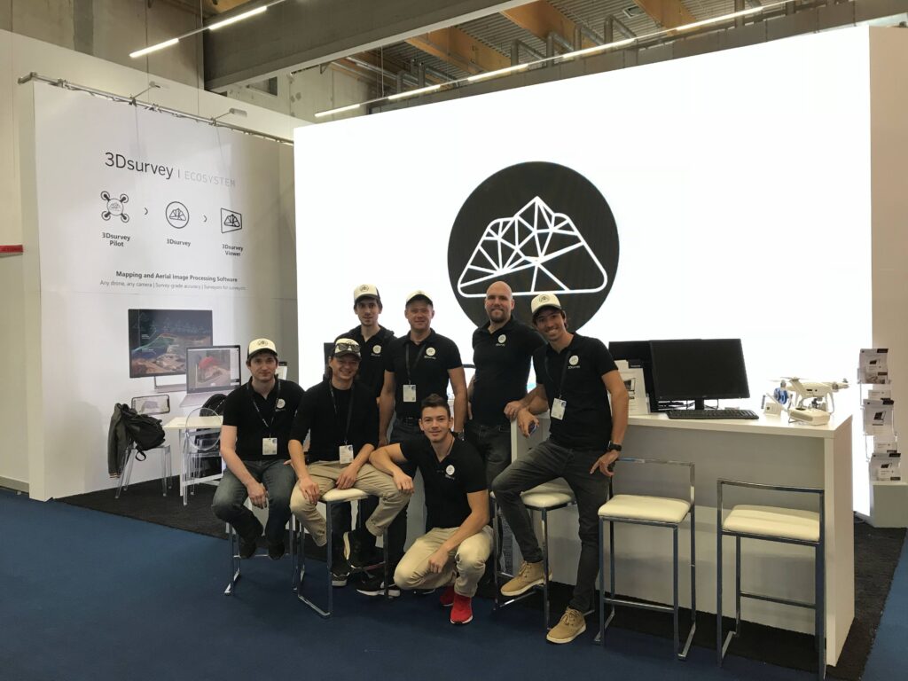
Don’t miss this great chance to meet the team and grab a delicious cup of coffee.
Stay tuned for more information.