
Drone Industry
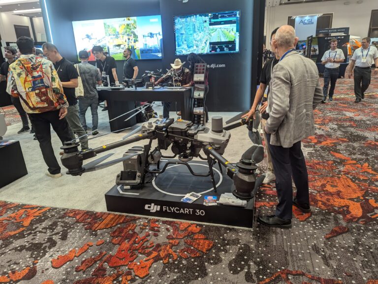
The 2024 Commercial UAV Expo held in Las Vegas from September 3-5 at Caesars Forum was a significant gathering for the drone industry, attracting more than 3,500 professionals from over 60 countries, making it one of the largest gatherings of its kind globally. This event showcased cutting-edge UAV technologies, focusing on airframes, sensors, and software solutions, as well as services related to commercial drone operations.
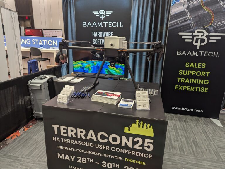
This year’s exhibition hall featured over 225 exhibitors showcasing innovative solutions across various sectors such as construction, energy, utilities, infrastructure, public safety, agriculture, and security. Attendees had the chance to explore and qualify technologies tailored to their industries, including advancements in LiDAR surveying, photogrammetry, and 3D imaging systems.
A major highlight was the live outdoor flying demonstrations, where attendees could witness drones in action under real-world conditions. These demonstrations provided practical insights into how drones are evolving to meet industry demands, with scenarios such as night flights and emergency response simulations.
Pilot Hub
The expo also saw the debut of the Pilot Hub, a dedicated space for drone pilots to network and develop skills, emphasizing the role of pilots in maximizing the business value of drone technologies. Alongside the exhibitors, there were new technologies in drone delivery, surveying, and mapping, which reflect the rapid growth of commercial UAV adoption across industries
This year’s event underlined the growing importance of UAV technology in sectors such as infrastructure and public safety, reinforcing its potential to transform operations on a global scale.


New Technologies
Hydrogen-Powered Drones
The expo featured a FLYING HY hydrogen aviation conference hosted by HYSKY Society, which introduced new hydrogen-powered UAVs designed to extend flight times and reduce environmental impact compared to traditional battery-powered drones. This innovation is significant for industries requiring long-duration flights such as surveillance, mapping, and agricultural monitoring.
Advanced AI and Machine Learning Integration
Several exhibitors demonstrated AI-driven solutions for autonomous flight, obstacle detection, and data processing. These technologies were showcased as transformative for automating drone inspections in hard-to-reach areas, reducing the need for manual intervention.
Drone Delivery Systems
Advances in drone delivery were also on display, with multiple companies showcasing systems capable of transporting goods efficiently and safely. These solutions are becoming more relevant as regulatory frameworks evolve and sectors such as logistics and healthcare begin to adopt drone delivery at scale.
UAS for Public Safety and Emergency Response
A new addition to the expo was a dedicated section for public safety and emergency services, where innovative drones equipped with thermal imaging, rapid deployment capabilities, and advanced sensors were highlighted. These systems are tailored for first responders and disaster management, providing real-time data in critical situations


3Dsurvey at CUAV 2024
What we showed
3Dsurvey v3.0 was a major highlight. This version integrates both LiDAR and RTK videogrammetry to enhance the accuracy of 3D models and data collection. The software allows professionals to:
- Seamlessly merge LiDAR point clouds with photogrammetric data for a more comprehensive spatial dataset.
- Leverage RTK-based videogrammetry for faster, more accurate data capture via UAVs and smartphones.
- Improved mesh algorithms to reduce errors when generating 3D meshes from oblique aerial images.
- New CAD tools for editing point clouds and creating accurate 2D floor plans from 3D data.
- Focused heavily on improving efficiency in surveying and construction by reducing fieldwork and providing a streamlined workflow
What’s different:
- Strong focus on fieldwork optimization: 3Dsurvey is designed to minimize time spent on-site. Its tools streamline data collection and processing, particularly for surveying and construction professionals, reducing the need for multiple site visits.
- LiDAR and RTK videogrammetry integration: While many platforms offer LiDAR integration, 3Dsurvey’s combination of RTK videogrammetry (capturing data with smartphone devices) and LiDAR is a standout feature. This makes it a highly versatile solution for professionals who want to merge different types of data for comprehensive geospatial models.
- CAD-friendly tools: 3Dsurvey is built with surveying professionals in mind, offering strong CAD integration for point cloud editing and floor plan creation, making it easier to transition from 3D models to more traditional engineering workflows.
- Focus on accuracy in terrain and construction mapping: It’s particularly geared towards topographic mapping and construction monitoring, making it a go-to solution for land surveyors and engineers.
Day 3 Recap
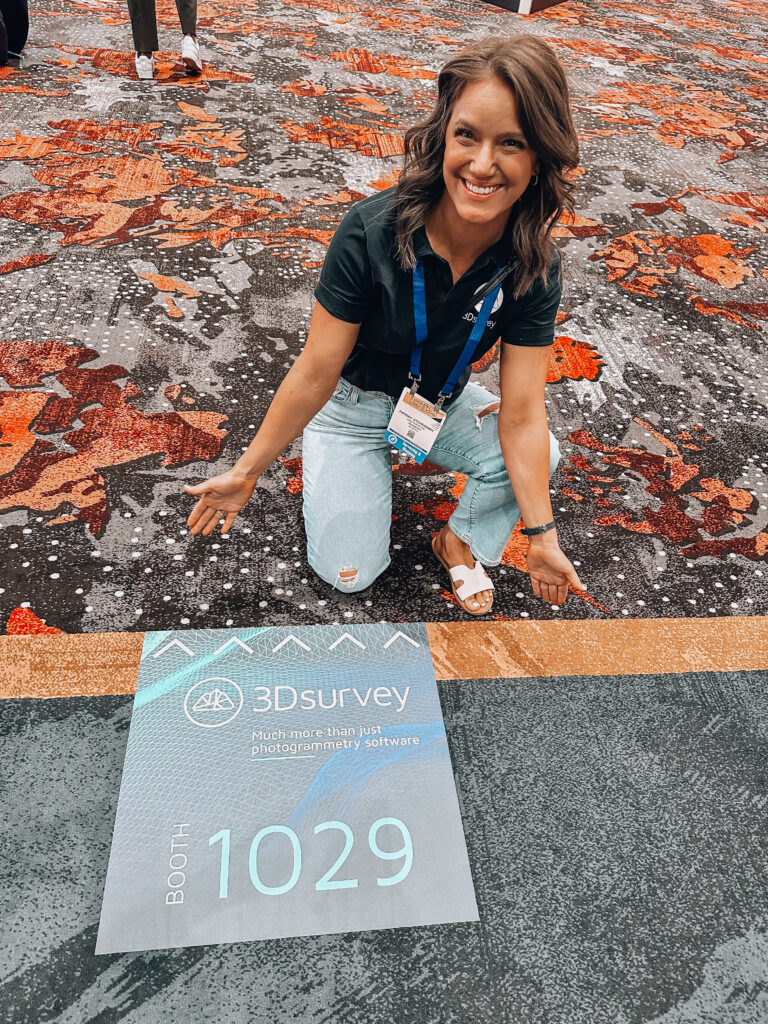
Check out Rami Tamimi’s Day 3 walkthrough of the expo speaking to exhibitors and seeing what drone solutions were on offer. Catch our Ambassador, Farrah Etcheverry‘s segment at 02:05 of the video talking about 3Dsurvey software and how she uses it on a daily basis for her work!
About Rami: Rami is a surveyor and geodetic engineer with over 10 years of experience in the land development industry.
About Farrah: Farrah is a land surveyor and co-owner of Etcheverry Land Surveying based in Arizona.

