LIDAR point cloud from a drone or terrestrial laser scanner usually comes without realistic colors, representation is therefore limited. With the help of a new option in the 2.15 version you can easily colorize your LIDAR point cloud based on photogrammetry images and work on more realistic models with the support of realistic colors!
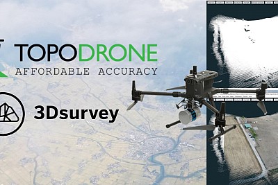
3Dsurvey team join forces with partner Topodrone to show you how to capture data with LIDAR, how to postprocess the LIDAR data in Topodrone software and export point cloud for 3Dsurvey.

