• Home
  • Webinars
  • Webinar: What’s new in 3Dsurvey 4.2

Webinar: What’s new in 3Dsurvey 4.2

Webinar: What’s new in 3Dsurvey 4.2

Introducing 3Dsurvey Version 4.2

We’re excited to present 3Dsurvey 4.2, the latest version of our all-in-one surveying and mapping software. In this release, we’ve packed in new features and refinements designed to make your workflows smoother, your results more accurate, and your presentations more impactful.

Join Marko, Matija and Vid as they guide you through the highlights of version 4.2, showing you exactly how these updates can help you get more out of your data, whether you’re in land surveying, construction, mining, or architecture.

What’s New in 3Dsurvey 4.2

  • Faster Bundle Adjustment
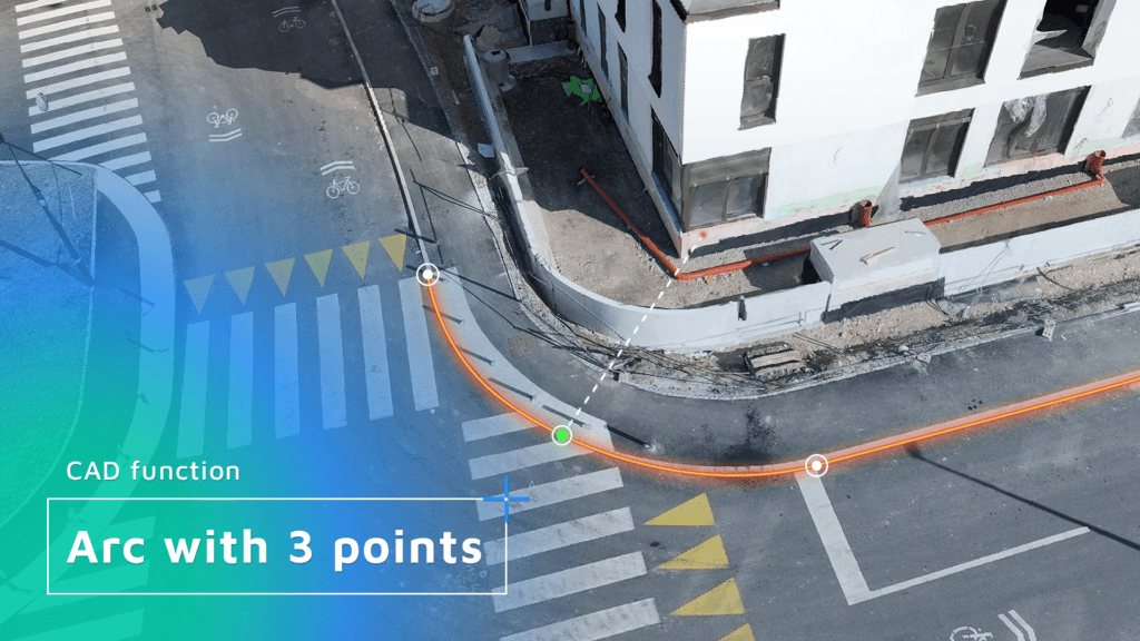
  • New CAD features (3 Point Arc; Join/Break/Explode; Snapshot/Backup)
  • 3D mesh calculation for SLAM, airborne LiDAR and TLS point clouds (Scan Module)
  • Pinhole camera support (Scan Module)
  • New Cloud Viewer features and improvements

Webinar Details

Date: 22 October 2026
Time: 2pm – 3:30pm CEST
Platform: GoTo Webinar

Arc with 3 points tool for CAD
Facebook
X
LinkedIn

Subscribe to our newsletter

What’s new in the field? Stay up to date with our newsletter!

DISCOUNT

15% on yearly subscription

Validity:
11 June – 22 June, 00:00 CET
(+8 hours for the US)

Days
Hours
Minutes
Seconds

You will be redirected to store.3dsurvey.si

NEW WEBINAR

Modern Geological Workflows with 3Dsurvey

24th September 2026
2pm CEST

Days
Hours
Minutes
Seconds

You will be redirected to GoToWebinar to register.