Summary
This article breaks down the core differences between true and traditional orthophotos — how they’re created, when to use them, and what to consider during flight planning.
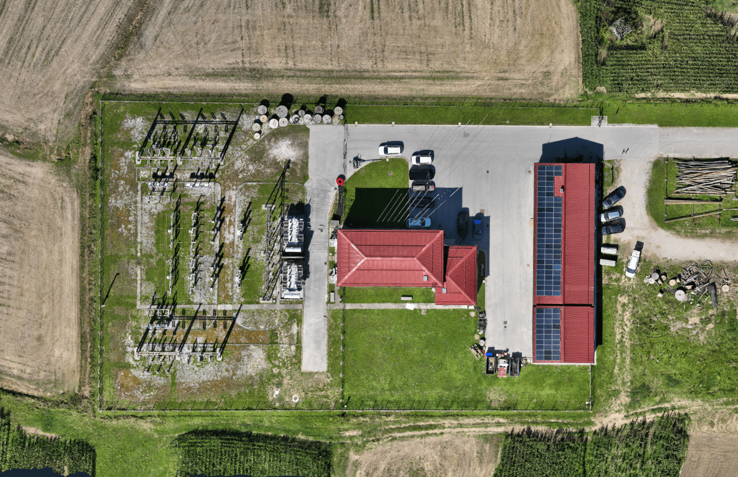
Traditional orthophotos are fast, hardware-efficient, and ideal for terrain-focused projects like rural mapping or mining. True orthophotos, on the other hand, use a full 3D mesh to preserve vertical structures, making them essential for urban planning, construction, and rooftop measurements.
Learn how to choose the right workflow based on accuracy needs, terrain complexity, and data volume.
Introduction: true vs. traditional orthophoto
Have you ever wondered what the difference is between a true orthophoto and a traditional orthophoto, and when to use one over the other? You’re not alone and we’ve got you covered. Understanding this distinction is crucial for professionals working in surveying, mapping, construction, or urban planning.
As explained in our What Is an Orthophoto blog post, an orthophoto is a geometrically corrected aerial or drone image — allowing accurate measurements as if you’re viewing the terrain from directly above.
Let’s break down the two types of orthophotos, how they’re created, and where each one shines.
What is a traditional orthophoto?
A traditional orthophoto is created by projecting aerial images onto a Digital Terrain Model (DTM) — a surface built using only ground-level points. These points are extracted from a classified point cloud, with elevated features like buildings, vegetation, and vehicles removed.
This method is ideal when the focus is on the terrain itself rather than above-ground structures. It’s particularly effective in projects like:
- Large rural or agricultural areas
- Open-pit mines and quarries
- Long linear features like roads, rivers, or pipelines
The biggest advantages of Traditional orthophotos are speed and efficiency. Since no full 3D mesh is required, the processing time is short, and the workflow is easier on your hardware — even with datasets over 3,000 images.
However, because elevated features are flattened into the ground surface, buildings and objects appear distorted or “ghosted”. This makes Traditional orthophotos unsuitable for projects where vertical accuracy matters. Watch the Traditional Orthophoto tutorial here.


What is a true orthophoto?
In contrast, a true orthophoto uses a Digital Surface Model (DSM) or a full 3D mesh that includes all objects — buildings, trees, vehicles, and more. This projection method captures the world as it is, including vertical surfaces, rooflines, and complex structures.
True orthophotos are perfect for projects that demand real-world positional accuracy. For example:
- Urban mapping and city planning
- Industrial zones with large facilities
- Construction sites with above-ground structures
- Roof inspections or solar panel planning
With buildings and other objects correctly positioned, seamlines are invisible, and you can perform precise measurements on rooftops or between objects — something Traditional orthophotos simply can’t do.
Of course, this added accuracy comes at a cost. True orthophoto workflows require:
- More detailed image capture (nadir + oblique)
- Heavier processing (full 3D mesh required)
- More time and hardware power, especially with large datasets
Watch the True Orthophoto tutorial on the link.


Key differences
Here’s a quick comparison of the two workflows:
Traditional Orthophoto:
- + Fast and hardware-efficient
- + Ideal for large rural areas or mines
- + Suitable for over 3,000 images
- – Distorted roofs and vertical objects
- – Requires nadir-only images
True Orthophoto:
- + Accurate building and object placement
- + Supports both nadir and oblique images
- + Seamless imagery with no edge distortions
- – Slower processing for large datasets
- – May produce artifacts depending on mesh quality
What to keep in mind when flight planning?
Your flight setup plays a major role in orthophoto quality. Here’s how to approach it for each workflow.
For traditional orthophotos:
- Use a single-grid mission
- Fly with nadir-only images (camera straight down at -90°)
- Avoid oblique angles
- Fly high (recommended: 80–150 m AGL) so entire objects appear in single images
For true orthophotos:
- Use a double-grid mission
- Combine nadir and oblique images
- Fly lower (recommended: 40–80 m AGL) to capture more detail
- The better the 3D mesh, the better the orthophoto
Which one should you use?
In short, it depends on your project.
Go with a traditional orthophoto if you’re mapping large, open, and mostly flat areas — where speed, simplicity, and performance are key. But if your project involves structures, vertical measurements, or dense urban areas, a true orthophoto will give you far better results.
And remember: the difference between the two isn’t just technical. It’s strategic. Understanding which orthophoto to use (and when) can save you time, reduce costs, and dramatically improve the accuracy and usefulness of your final deliverables.
Watch the full webinar
Want to go even deeper into the topic? We hosted a detailed webinar where we covered both workflows, showed real-world examples, and answered user questions about orthophoto creation and application.
Watch the webinar to learn how to choose, plan, and create the most accurate and efficient orthophotos for your project and take your mapping skills to the next level. Or read our blog on Why choose 3Dsurvey for orthomosaic mapping and start your free trial today.

