One package solution – customizable scalability
3Dsurvey is a comprehensive photogrammetry software solution with the capability to process and classify data from any input. Created with the practical needs of surveyors in mind, it is an agile and versatile tool, useful for many different industries.
OVERVIEW
KEY FEATURES
All-in-One solution brings significant benefits
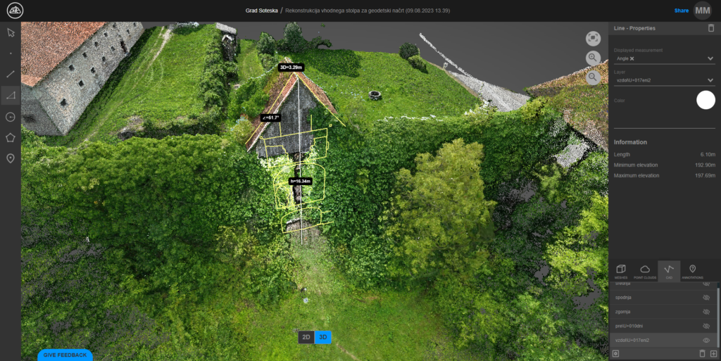
Take advantage of the many benefits of our 3Dsurvey software solution, from unparalleled data compatibility to incorporated CAD module. Complete your entire workflow and generate your deliverables all in one software. With an intuitive and uncomplicated user interface you can complete your projects with less technical doubt. 3Dsurvey add-on modules give you the flexibility and convenience to customize your work environment with the features you need when you need them.
CAPTURE
Compatible with the equipment you use
Our system is compatible with any drone, camera, GNSS, LiDAR, SONAR, geospatial data, real-time telemetry, and offers a free mobile pilot app, supporting jpg, png, tiff, mp4, mov, avi file formats.
#1 PHOTOGRAMMETRY, MAPPING & PROCESSING
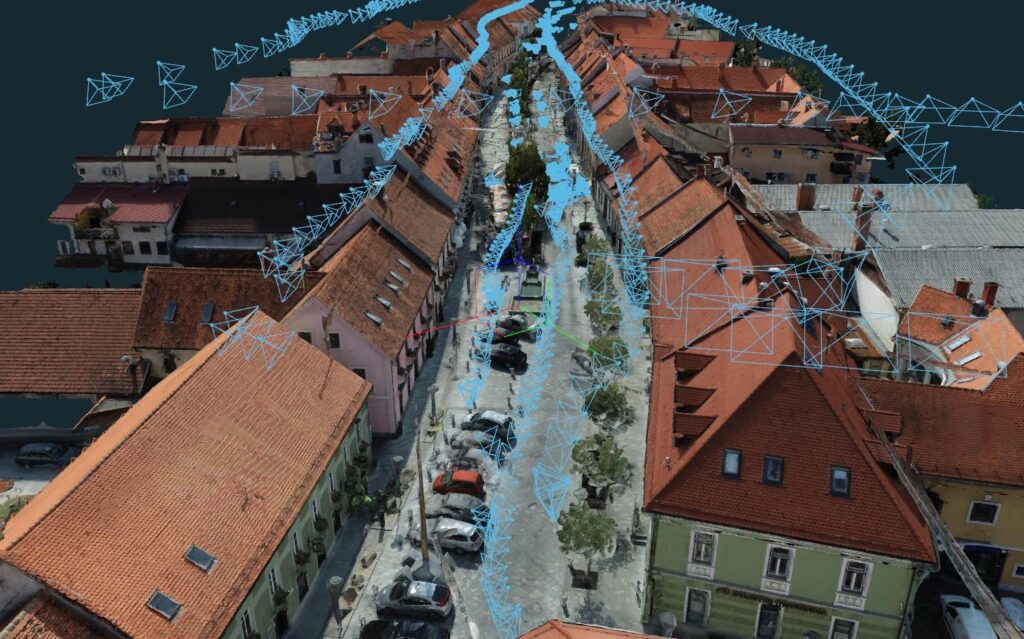
From 2D images to accurate 3D models
Make the most out of the data you have and create 3D models that will amaze your clients.
#2 DATA EXTRACTION TOOLS
Only use the data you need
Different tools enable you to extract and create the information you need, from volume calculation to drawing profile lines.
#3 SHARING RESULTS WITH YOUR CLIENTS
3Dsurvey Cloud for easy sharing
Simply share a link and let your client access your uploaded results from any device.
For specific needs, take advantage of our Scan and RTK Videogrammetry solutions
Enhanced data quality and efficient processing, perfect for engineering, environmental science, and urban planning.
Centimeter-level precision for 3D models and maps, ideal for high-detail usage.
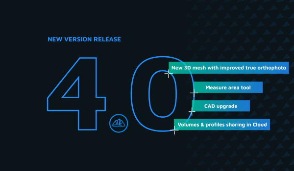
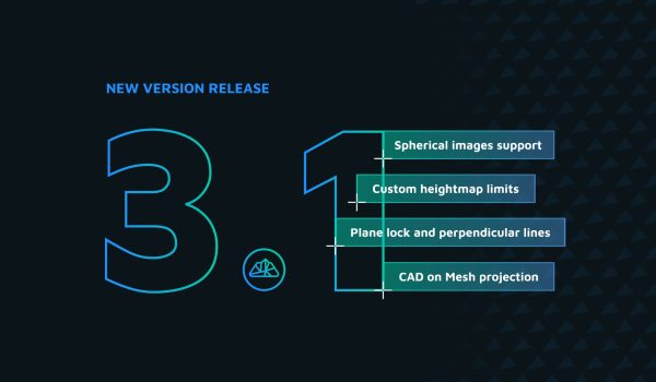
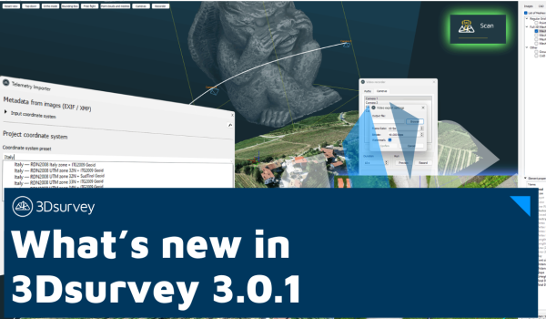
Upgrade to the Latest 3Dsurvey Version
Stay ahead with the latest 3Dsurvey update – explore new features and improvements.
Frequently asked questions
Minimum
Windows 7, 8, 10; 64 bit, Intel i5 or Ryzen 5, 16 GB RAM, nVidia GTX 1050 or better, SSD 128 GB + HDD 500 GB
Recommended
Windows 11; 64 bit, Intel i7 or Ryzen 7, 32 - 64 GB RAM, NVIDIA RTX 5060 Ti 16 GB, SSD 2 TB (NVMe)
Professional
Windows 11; 64 bit, Intel i9 or Ryzen 9, 64 - 128 GB RAM, 2x NVIDIA RTX 5060 Ti 16 GB, SSD 4 TB (NVMe)
Disclaimer: Intel Core 13th and 14th Gen K/KF/KS have serious issues with instability and we don't recommend it.
3Dsurvey offers a number of supported file formats: tiff, jpg, png, kmz, obj, ply, e57, las, dxf, pdf, txt, xyz, doc, xml, mp4.
Yes, you can! A free 14-day trial version is available on the free trial page. It has unlimited functionalities! In case 14 days prove too short, please email support@3Dsurvey.si and we'll do our best to assist.
You can send an inquiry about the license type you want to purchase through our store or contact your local 3Dsurvey distributor.
The most valuable information comes from the clients

Claudiu Toma
Black Light SRL (Romania)

Kamil Tomiak
NaviGate (Poland)
One of the reasons that I am a 3Dsurvey partner, is because their customer service is unbeatable, and because they put out an INCREDIBLE amount of content, to help YOU, the user, make the most out of the software.
They are constantly taking feedback from their customers and putting out helpful webinars, videos, and articles to help you work your job and find solutions to your hang ups.”
Farrah Etcheverry
Etcheverry Land Surveying


Jan Škarja
Šuštar Trans (Slovenia)

David Atkinson
Westlat Design (USA)
3Dsurvey’s support and customer care have surpassed all of our expectations. Marko, Vid and Matija are true professionals, prompt to respond and always happy to help with solutions at hand. Even though we sometimes make their days hard, they make our lives easier – thank you for doing the best job!
Jano Komac
Institut Mediapro


Michael Wenninger
CADdy Geomatics GmbH (Germany)

Pavel Bozdech
3gon Positioning s.r.o. (Czech)
Dive in and level up your skills!
Free Trial - Fully functional, no limitations - for 14 days
Check out all the features and additional modules of 3Dsurvey software and see if it fits your needs, then choose the appropriate licence.
-
All-in-One solution
-
Onboarding training included
-
Supports 18 languages
Subscribe to our newsletters


