• Home
  • Webinars
  • [Greek] Γνωριμία με το 3Dsurvey – η φωτογραμμετρία στην εποχή των drones

[Greek] Γνωριμία με το 3Dsurvey – η φωτογραμμετρία στην εποχή των drones

Surveying and Mapping banner
[Greek] Γνωριμία με το 3Dsurvey – η φωτογραμμετρία στην εποχή των drones

This time we are hosting a Live webinar with our partner from Greece Tree Company Corporation A.E.B.E. Webinar will be hosted in Greeke language.

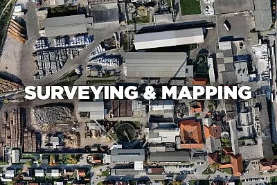
ΦΩΤΟΓΡΑΜΜΕΤΡΙΚΕΣ ΑΠΟΤΥΠΩΣΕΙΣ ΜΕ DRONES

Τι προσέχετε όταν επιλέγετε ένα drone για χαρτογραφήσεις και πώς υπολογίζετε ένα ακριβές μοντέλο 3D με γεωδαιτική ακρίβεια από φωτογραφίες;

  • Γενικά
  • Επιλογή drone
  • Λήψη φωτογραφιών
  • Φωτοσταθερά & σημεία ελέγχου
  • Το 3Dsurvey
  • Εισαγωγή φωτογραφιών & δεδομένων
  • Επεξεργασία φωτογραφιών & δημιουργία νέφους σημείων
  • Ψηφιακό μοντέλο εδάφους & ορθοφωτοχάρτης
  • Εργαλεία του προγράμματος
  • Εξαγωγές αποτελεσμάτων
Facebook
X
LinkedIn

Subscribe to our newsletter

What’s new in the field? Stay up to date with our newsletter!

VOTE NOW

Geo Week 2026 Game Changers Showcase

Vote for 3Dsurvey

Unlock a discount code to attend Geo Week

Days
Hours
Minutes
Seconds

You will be redirected to geo-week.com

NEW WEBINAR

3Dsurvey by Demand: Top 3 Topics Explained

18 December 2025
2pm CEST

Days
Hours
Minutes
Seconds

You will be redirected to GoToWebinar to register.