Built by surveyors, trusted by professionals in 60+ countries
At 3Dsurvey, we know the challenges of fieldwork because we’ve lived them. That’s why we created software that cuts through complexity and gives surveyors the tools they need to deliver precise results, faster and easier. From drone imagery to LiDAR, video, or terrestrial data, 3Dsurvey turns raw inputs into reliable insights. We help professionals around the world save time, reduce fieldwork, and focus on what matters most.
“3Dsurvey is a game-changer for our entire business.”
— Jeremy Dalmacio, D2 Surveying LLC
Our Story
3Dsurvey was founded in 2011 by 3 land surveyors, Tomaž Izak, Marko Mesarič and Vid Peterman. It was created out of a need to reduce the amount of time spent in the field, and to supplement traditional land surveying methods. They determined photogrammetry to be the most viable option, and started to develop software which would be compatible with drone technology.
The first version of the software focused on orthophoto and point cloud creation. Wanting to take the capabilities of the software further, they started using photogrammetry to build 3D models. Over 10 years later, 3Dsurvey is positioned as one of the leading providers of photogrammetry software worldwide.
Tomaž studied geodesy before working for a surveying company as a geodetic engineer. After five years, in 2004, he founded his own company. Then in 2011 his passion for photogrammetry led to him developing 3Dsurvey as a startup. Today, 3Dsurvey is an international product that is sold through representatives in more than 50 countries worldwide.
Vid completed his Masters in surveying engineering at the University of Ljubljana and began his career in traditional land surveying. With over 10 years of experience in aerial photogrammetry and more than 300 drone mapping projects, he brings deep technical expertise and field knowledge. In 2011, he co-founded 3Dsurvey, where his passion for technology and smarter workflows continues to shape the evolution of the software.
Marko began his career as a professional land surveyor, where he spent over five years performing geodetic measurements and managing surveying projects. He is one of the co-founders of 3Dsurvey, and the senior project manager. Marko combines deep technical knowledge with a passion for innovation to guide 3Dsurvey’s development and support clients on complex projects worldwide.
We help people in the field do their job faster and easier. With real-life experience at the heart of our software, we help professionals do today what they couldn’t do yesterday.
Vision Statement
To transform the way spatial data is processed and utilised for everyone.
Real pain points → real solutions
Too much time in the field
Traditional methods can take 2–3 days of measurements. With 3Dsurvey, you can capture a site in under an hour and finish the rest in the office.
Juggling multiple tools
Surveyors waste hours moving data between platforms. 3Dsurvey offers an all-in-one environment: process imagery, calculate volumes, generate orthophotos, and finish CAD drawings without leaving the software.
Steep learning curves
Complex software slows down adoption. 3Dsurvey’s intuitive interface and built-in CAD tools make it easy to learn and use, whether you’re a beginner or a seasoned professional.
Inflexible data sources
Every project is different. 3Dsurvey accepts input from drones, LiDAR, SLAM, sonar, RTK video, terrestrial photos, and more, giving you full flexibility with your workflow.
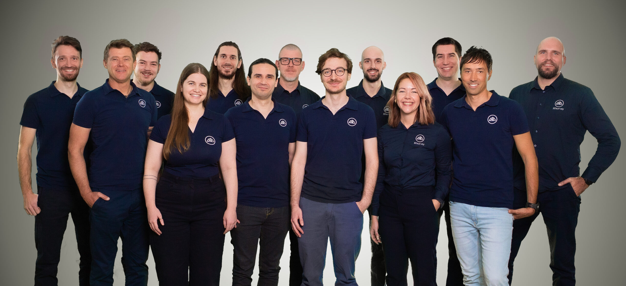
At 3Dsurvey, our company culture is built on collaboration, innovation, and a deep respect for real-world experience. We focus on creating practical, powerful tools that make complex tasks faster, simpler, and more intuitive.
Contact us
Join our Team
As a growing company, we are always on the lookout for innovative software developers to join us. Feel free to reach out if you see yourself as part of 3Dsurvey and let’s talk!