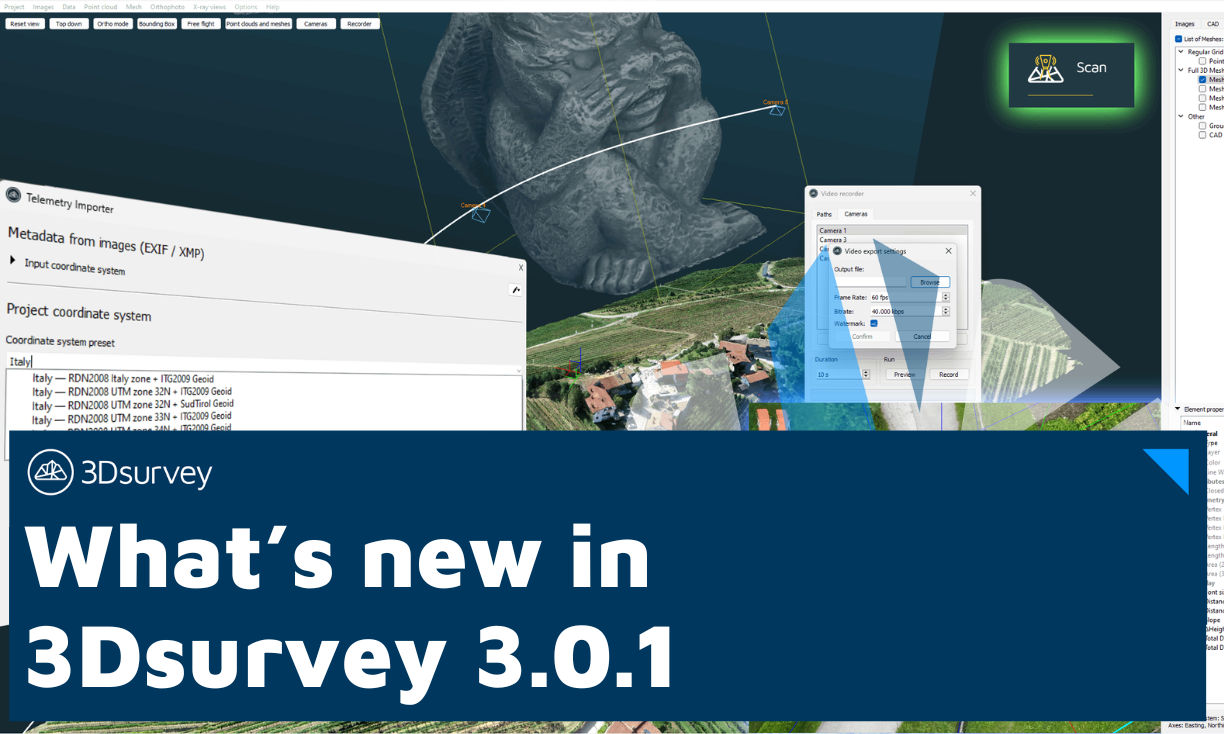
What’s new:
- Added or improved coordinate system presets:Costa Rica, France, Finland, Italy, Poland, and Portugal
- Deprecated coordinate systems are noted and sorted to the bottom of the list
- Changed default settings for video recorder export to higher quality values
What’s fixed:
- Fixed CAD element properties columns to resize to contents
- Fixed several issues regarding user interface for coordinate systems
- Fixed incorrect coordinate system selection when uploading to 3Dsurvey Cloud
- Fixed several issues regarding empty point code in CAD point drawing
- Fixed handling of incorrect/invalid EXIF altitude data for Rock Robotic cameras
- Fixed rare infinite recursion in mesh clip algorithm
- Fixed transparency value for mesh texture exporting to OBJ file format
- Fixed lost LiDAR-specific data when manually calculating point cloud normals
- Fixed download of grid/geoid files for coordinate systems for trial users
Scan module
What’s new:
- Improve automatic point cloud registration
- Add ability to stop X-ray view calculations

