Stockpile measurement with Fixed-wing UAS
At 3Dsurvey we are aware that every new user needs support from a professional who knows how to get the most of our software. When you buy our software we include full support and training. We are in personal contact with our distributors who later pass the knowledge on to the users of our software.
Overview
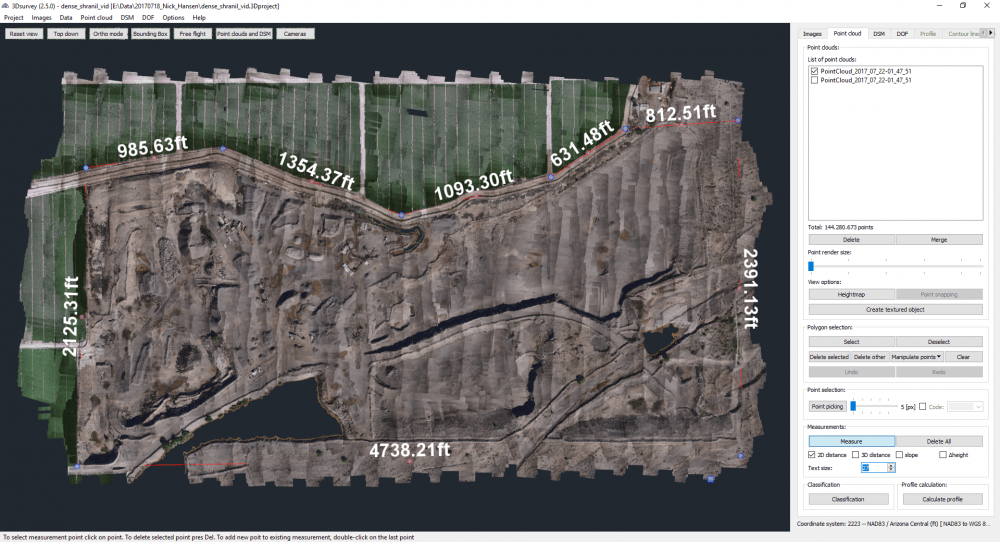
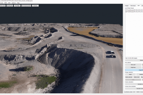
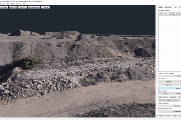
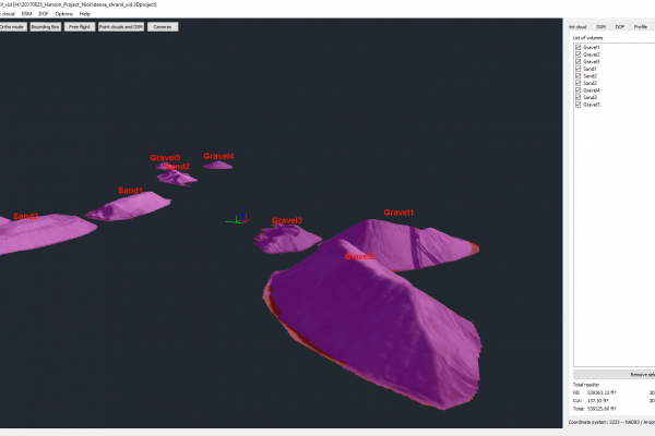
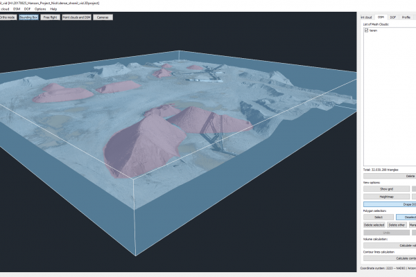
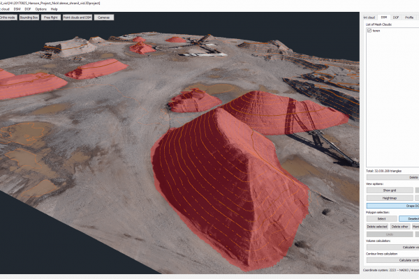
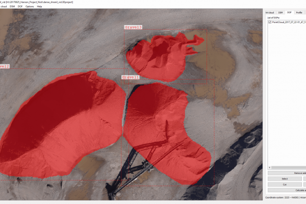
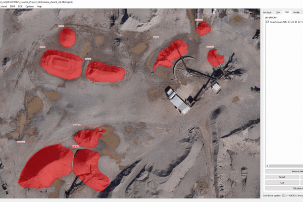
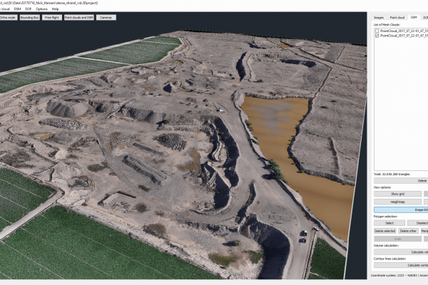
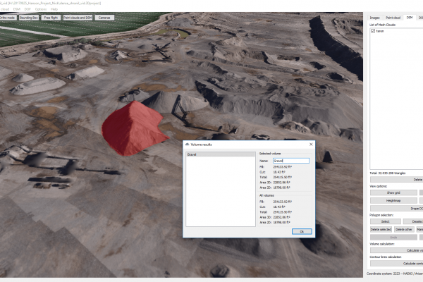
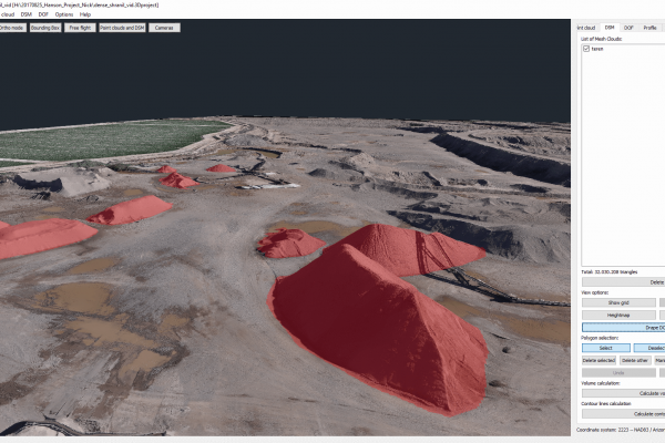
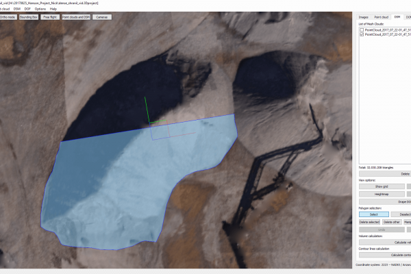
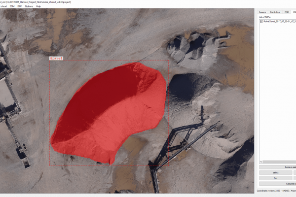
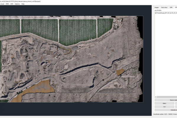
One of our distributors used our software to show his customer how to create accurate, fast and effective measurements of a large stockpile in Arizona. Stockpile measurement needs to be conducted regularly in order to monitor the volume and the quality of the material on the site.
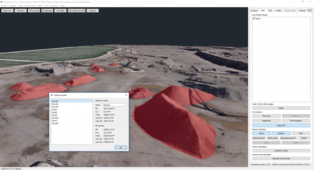
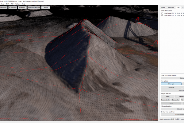
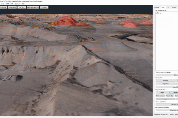
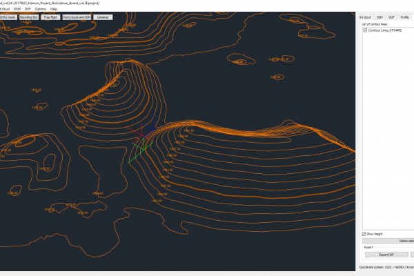
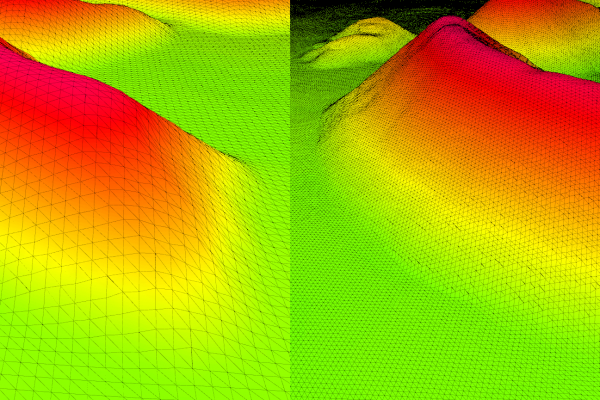
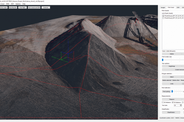
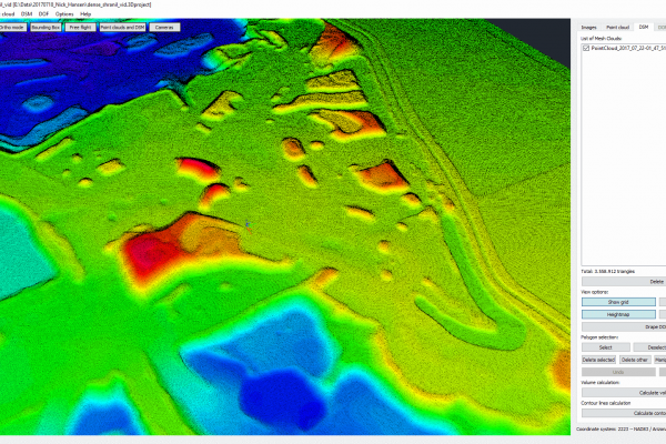
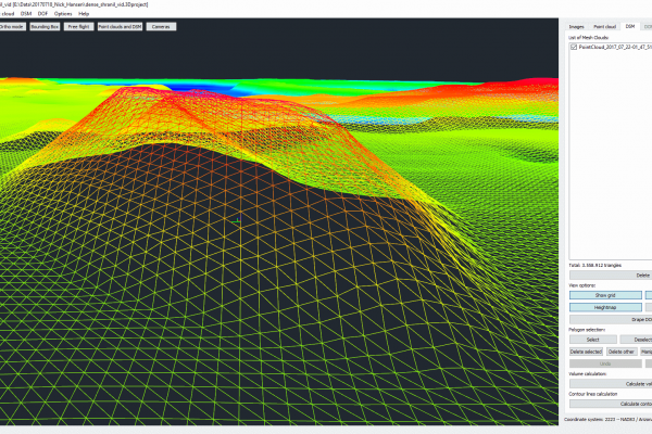
When it comes to stockpile measurement, it is a great challenge to find an easy way to measure the volumes since the mounds do not adhere to optimal shapes. Due to the various features and functionality of our software, measurements of this kind of stockpile inventory are done 10 times faster than in the past.
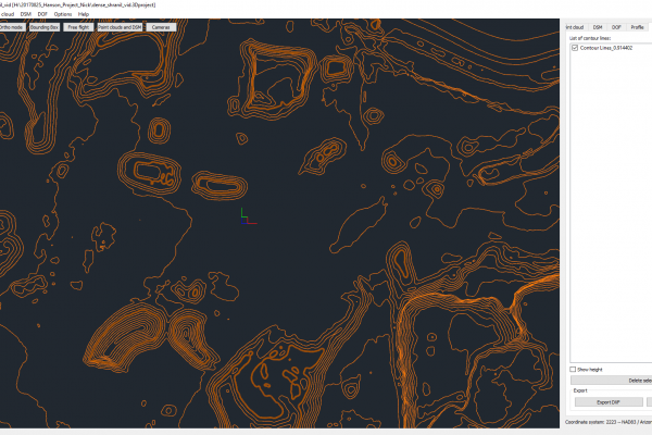
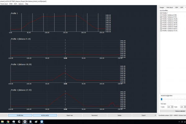
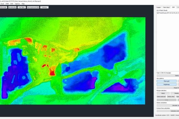
Check out our volume calculation tutorial for more in depth information on how to first calculate the digital surface model.
Fixed-wing Bramor ppX UAS
For the stockpile surveying, Nick used the Bramor ppX UAS, which has a total flight time of 3,5h. For the area of 2400 x 4700 feet (732 x 1433m), this drone was in the air for 45 min. A smaller drone, the size of a Phantom 4 Pro for example, would take much longer to measure this stockpile.
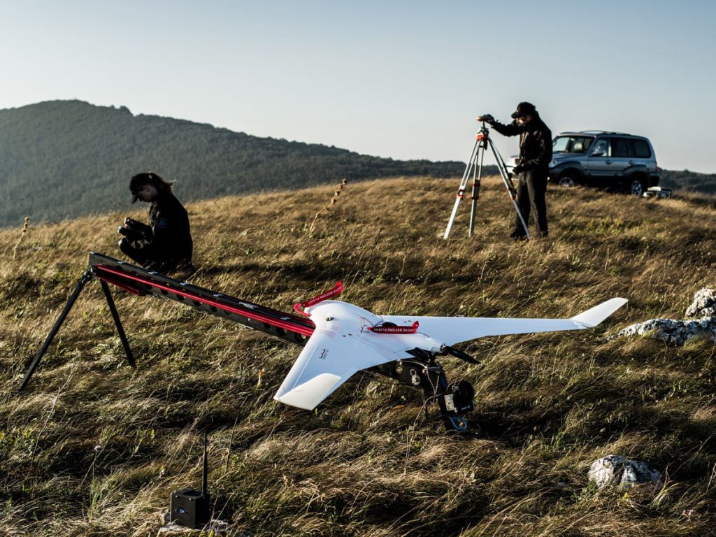
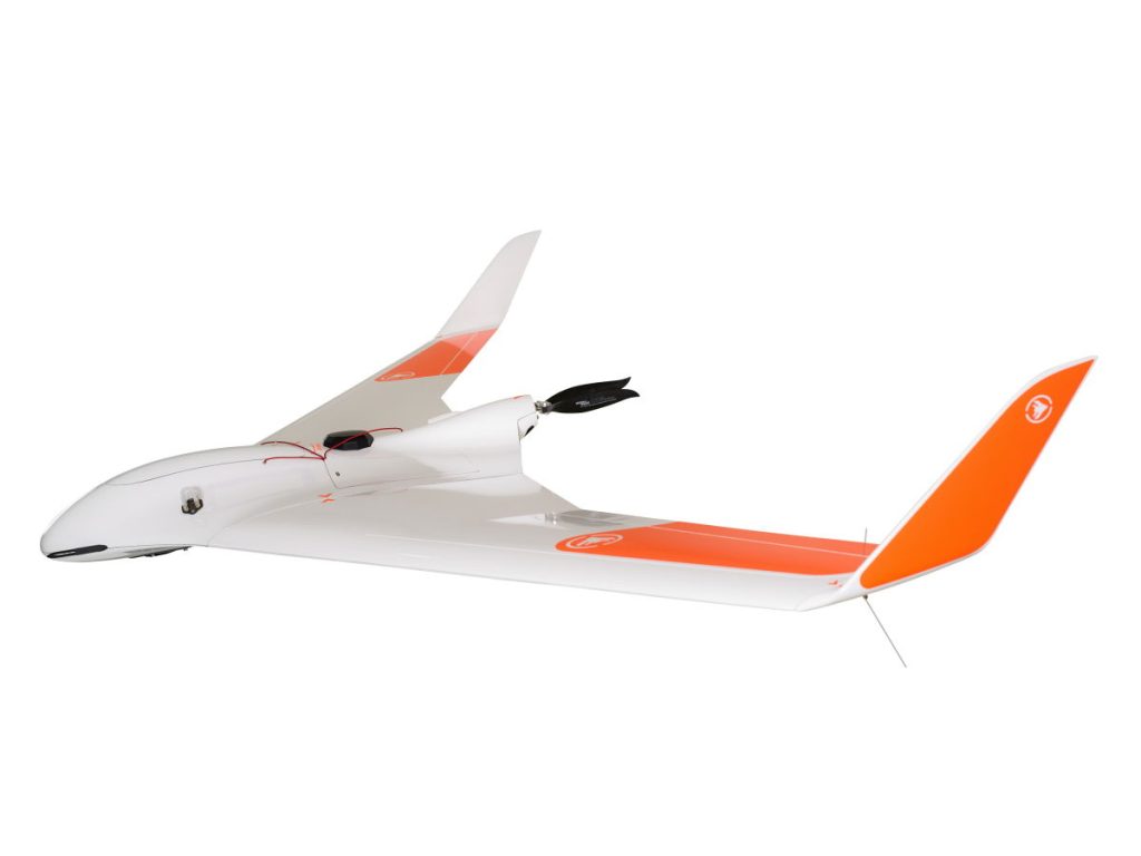
If Nick were to use the GPS and total station approach, the measurement of a similar yet lesser quality would take around 3 days. In addition, he would need a lot more people on the field than he did using the fixed-wing, where only 2 people were needed onsite.
Sony Alpha 6000
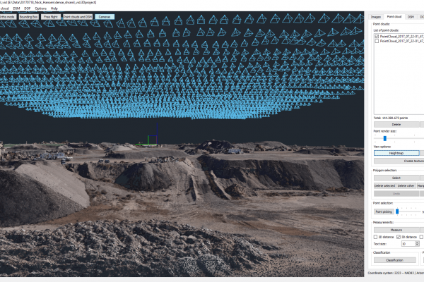
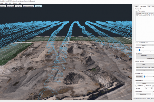
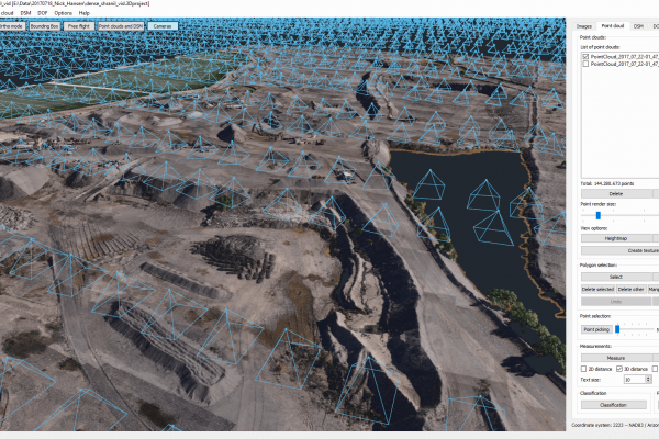
To produce a detailed map and study of a stockpile, it is important to take high resolution images. Nick used the Sony Alpha 6000 camera, which took 3370 photos while the UAS was flying at the height of 400 feet.
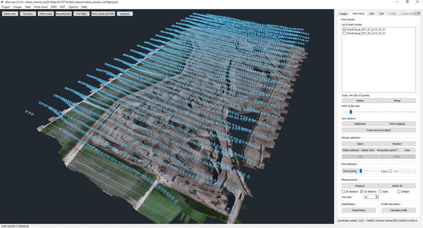
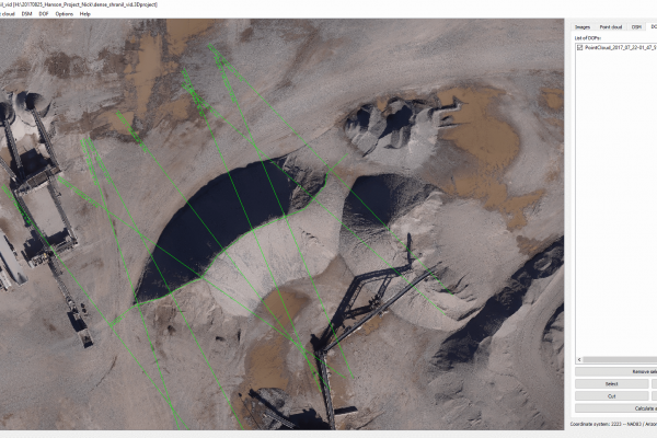
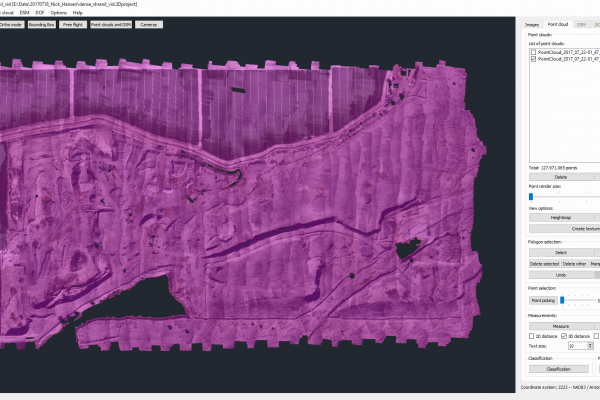
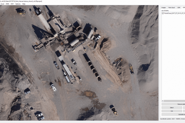
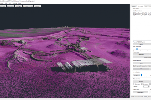
Image processing was done using the 3Dsurvey software. GPS data from GCPs positioned on site was used to orientate the model to generate a dense 3D point cloud from aerial images.
Project Tools & Specs
- Drone: C-Astral Bramor ppX
- Flight details: 45min flights at 400 feet AGL
- Camera: Sony Alpha 6000 with modified lens
- Positioning & Orientation: UAS Integrated GNSS PPK – Post Processing Kinematic, independent 9x GCPs measured w/ Leica GPS
- Photogrammetric processing & Outputs: 3Dsurvey
- Number of Images: 3370
- Image overlap: 80%
- Area size: 500 Acre (200 Ha)

C-Astral
C-Astral is an aerospace enterprise and solution provider based in Slovenia. The company is one of the market leaders in the small unmanned systems (UAS/UAV) and services field and has a global presence, a robust research and development program and advanced integration/customization capacities.
For more information on C-Astral and their fixed-wing drones, check out their website: https://www.c-astral.com/en

