Volume calculations – Brdo
Overview
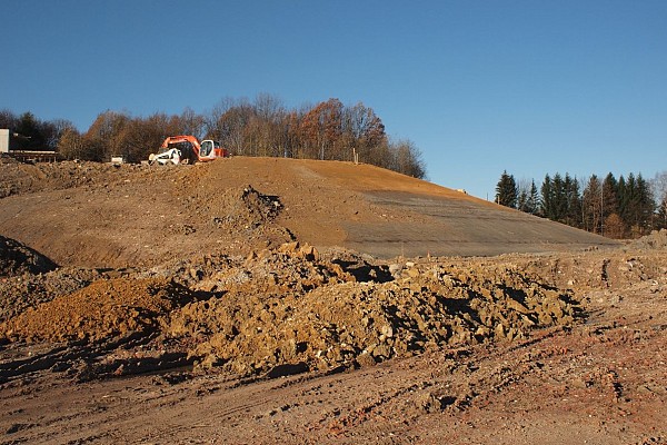
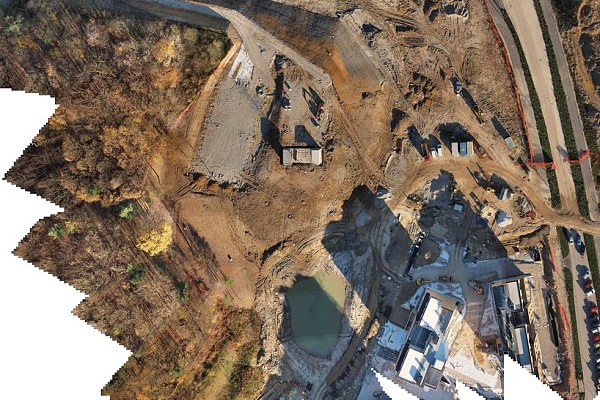
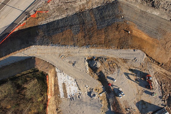
Using photogrammetric measurement – aerial photography and ground control points – we measured the volume of excavated material and material fill, enabling better construction management.
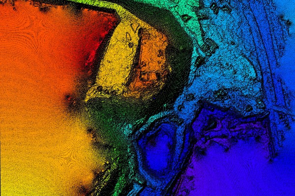
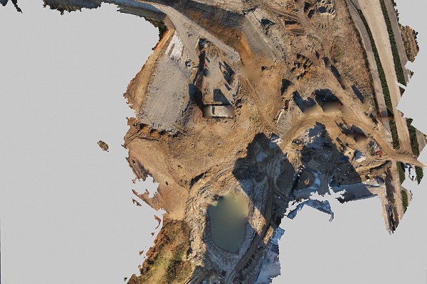
The result of 3Dsurvey program-based calculations was an oriented point cloud (comprising several million points in realistic colours) that served as the basis for defining a digital terrain model.
The digital terrain model (DTM, DEM) can subsequently be used to calculate volume, flood studies, hydraulic studies or serve as a basis for project planning.
Since we got our aerial photographs using certain aircraft (helicopters, drones, fixed-wing aircraft, UAVs), the photos contain no shadows. For instance: if measurements are carried out with a laser scanner, the scanner is set at the operator’s eye level, meaning that we have no information about potential obstructions and therefore have to move to another spot. This might be repeated until data homogeneity is finally reached, which is usually a lengthy process.
Site and Outputs

