

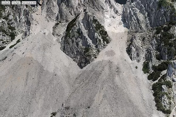
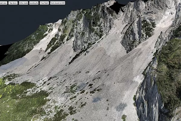
Potoška Planina Scree Accumulation from 2014 to 2015
Project Overview
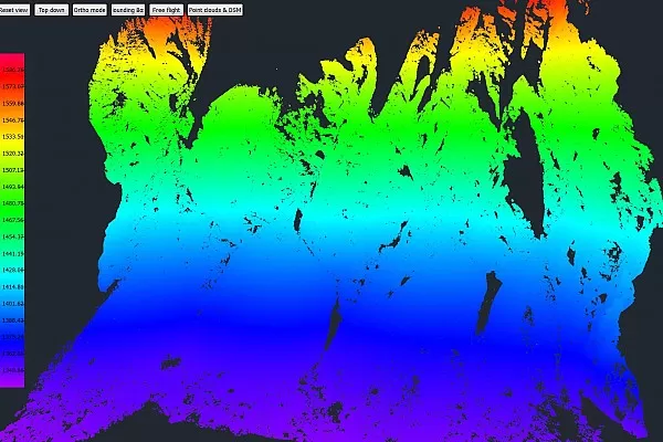
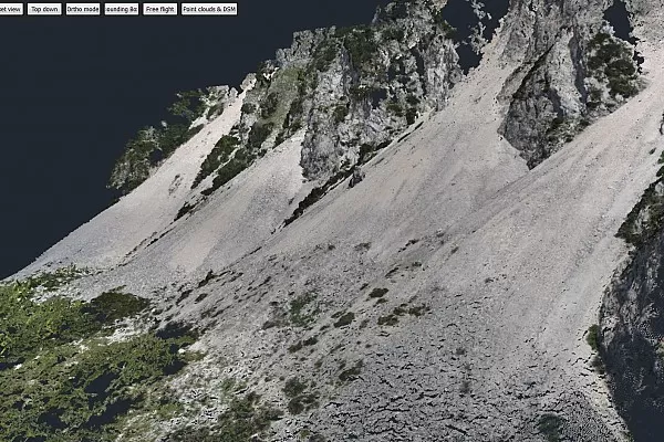
The goal was to observe the scree that had accumulated on the Potoška mountain slopes just outside the village of Potoki from 2014 to 2015. The project was done in collaboration with the Geological Survey of Slovenia.
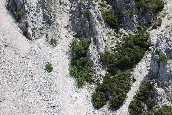
Scree is a collection of broken rock fragments at the base of a cliff or other steep rocky mass that has accumulated through periodic rockfall.
Drone Flights
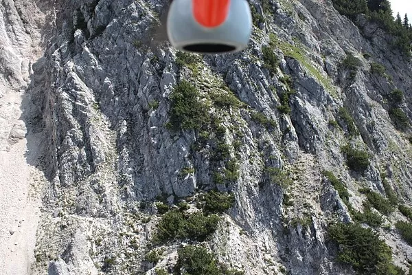
Two drone flights, one in each year, were performed to collect the data needed to compute displacement vectors and register the land mass movement.
Drone vs Terrestrial Laser Scanner
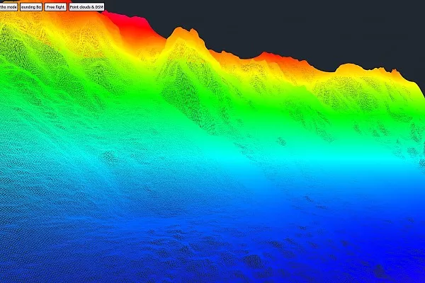
We also used this project as a case study of using a terrestrial laser scanner. The main purpose was to see which method performs better, aerial or terrestrial.
We were thrilled to discover that a drone-based method paired with 3Dsurvey software proved superior. The results showed an absence of blind spots, an observation time four times faster, and more accurate calculations of a textured point cloud, an orthophoto mosaic and a 3D model.
Outputs from mission 1

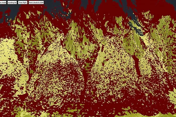
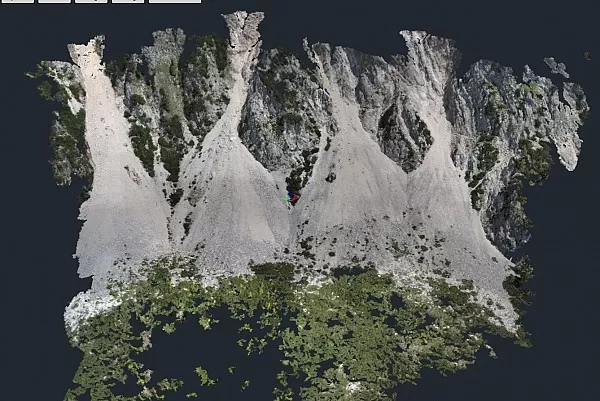
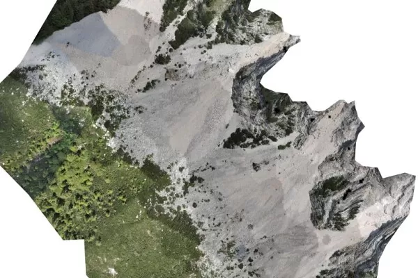
Outputs from mission 2


Keen to know more about this project? Email us at [email protected]