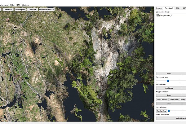
Potoška Planina Landslide – Volume Calculations
Summary
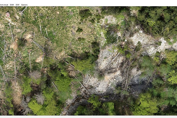
A mountainous region just above the village of Potoki has been observed for 3 years through 5 sequential measurements. With hard-to-reach alpine terrain where classical measurements are very time consuming, we decided to employ an unmanned aerial vehicle based technology that has allowed us to get great land mass movement results in a cost-effective way.
Calculating volumes
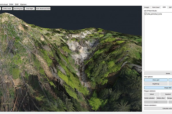
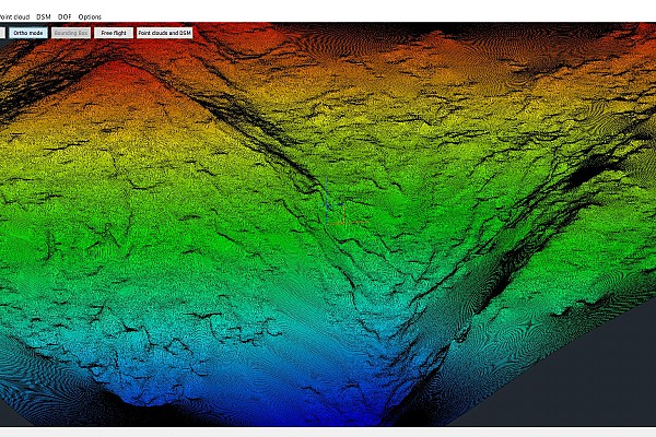
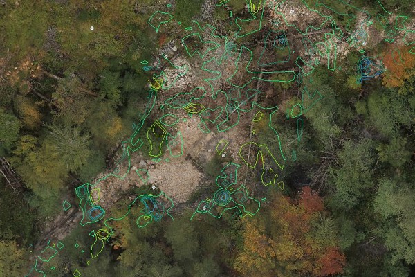
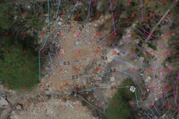
Sequential point cloud calculations have allowed us to detect land mass movement and define displacement vectors. The main objective of calculating the volume differences and general extent of the landslide has been achieved by utilizing sequential DSM calculations.
Gallery

