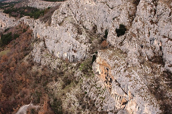
Podpeč and Bezovica mountain cliffs measurement
Project Overview
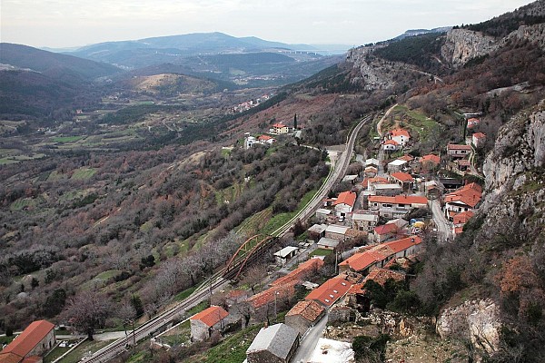
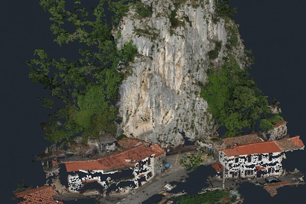
Measuring the mountainous rock face near Podpeč village for 3D documentation and potential restoration.
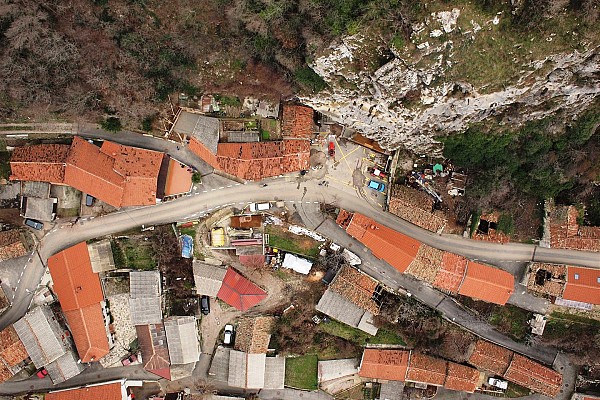
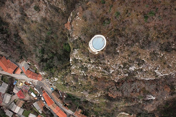
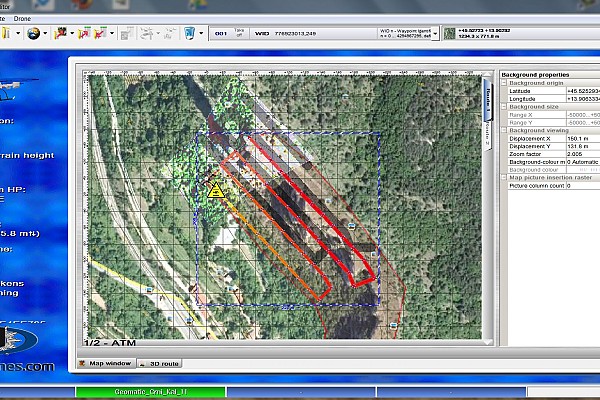
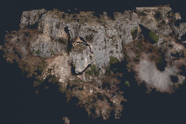
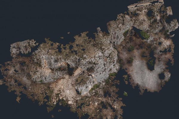
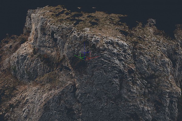
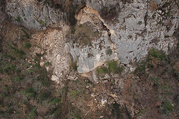
Using the UAV Microdrone MD4-1000, we took photos of vertical mountain cliffs at potential hazardous locations and came up with an exact terrain model.
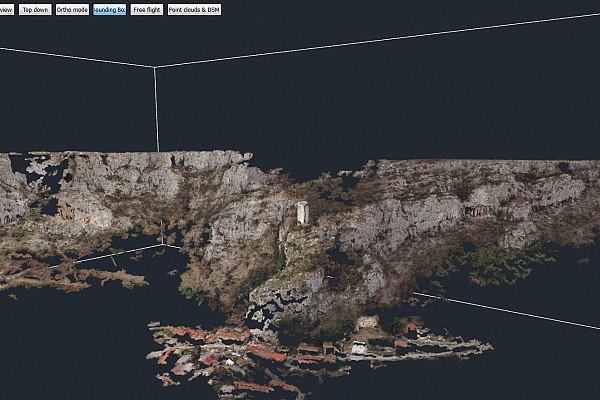
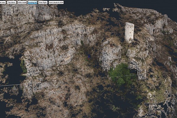
In collaboration with the Geomatik d.o.o. we combined laser-scanning technology with photogrammetry, to construct a precise 3D model of the overhanging rocks that pose a danger to the villages in Municipality of Brezovica, and specifically, Podpeč.
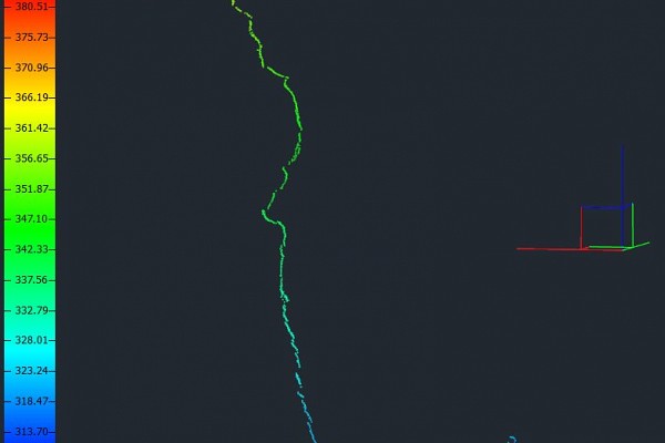
The data enabled us to trace cross and vertical sections of a certain area.
Outputs

Keen to try 3Dsurvey for yourself? Try it free for 14 days!

