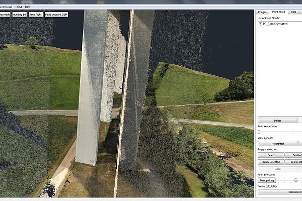
Surveying a 45m tall pillar of a highway bridge using an unmanned aerial vehicle
Project Overview
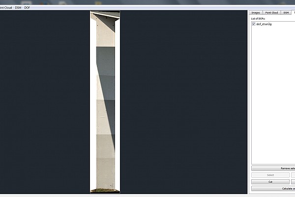
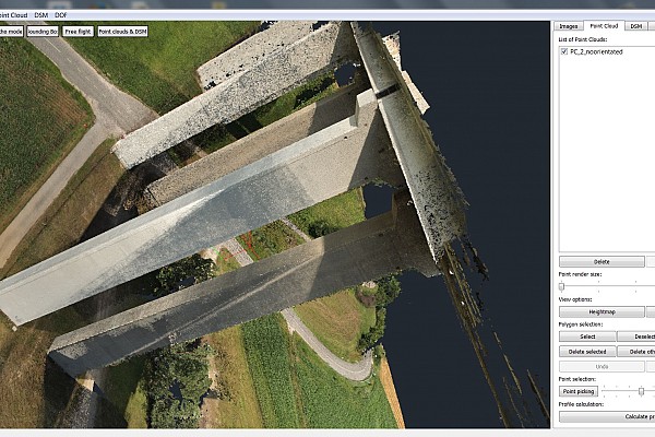
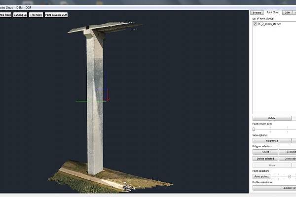
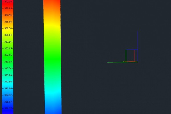
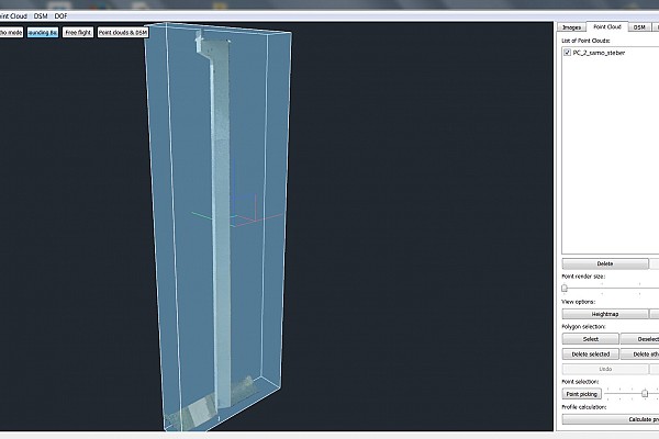
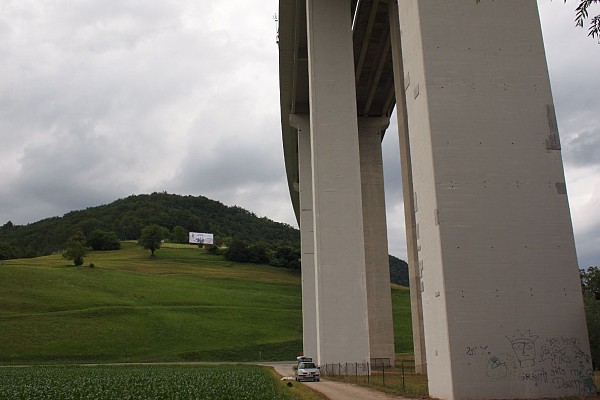
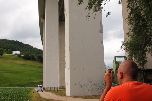
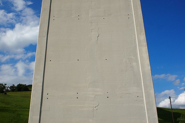
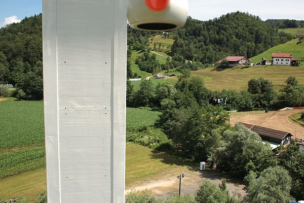
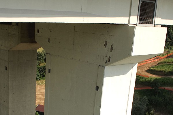
Using an unmanned aerial vehicle, we surveyed a highway pillar in the vicinity of Žiče in eastern Slovenia. We created a 3D model of the pillar as well as an orthophoto map for each of the pillar’s sides.
The pillar measured slightly over 45 meters in height. The UAV flew unaided using GPS, as the flight was under the highway construction.
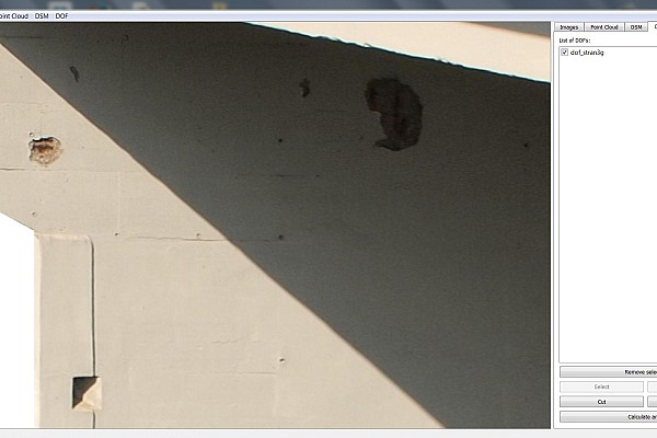
The calculated data enabled us to map the cracks and the damage, and to evaluate the renovation costs. The model was topologically precise and enabled measurements between random elements.
Images and Outputs


Keen to try 3Dsurvey for yourself? Try it free for 14 days!

