Survey Mapping an Open-pit Mine
Overview
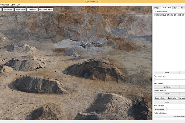
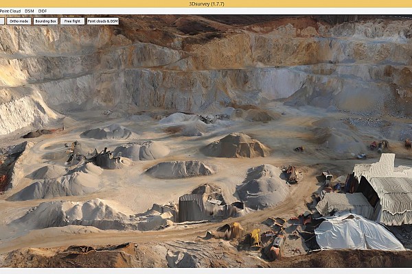
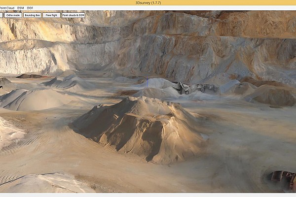
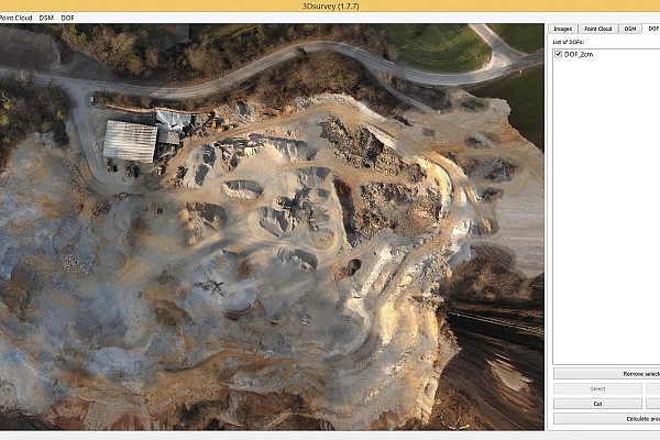
This project’s aim was to accurately measure an open-pit mine in Litija, Slovenia. Open-pit mining is a surface mining technique of extracting rock or minerals from the earth from an open-air pit.
Area
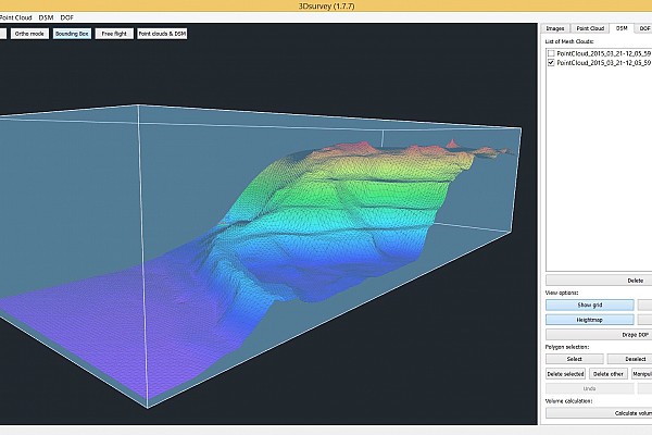
The open-pit mine was 600m long, 350m wide and 150m deep. The project was done in association with a local surveying company.
Objective
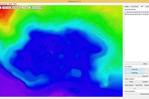
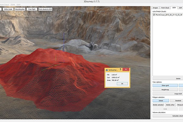
Our objective was to create a proper land surveying map based on photogrammetric measurements.
Process
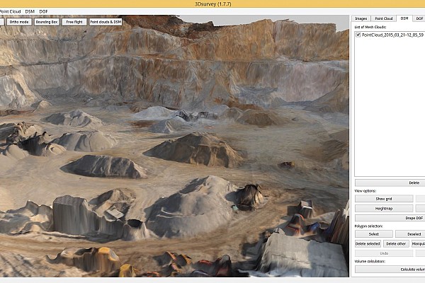
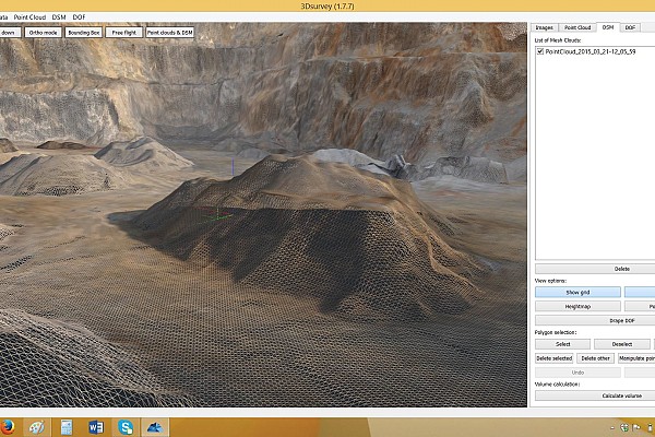
Two separate drone flights were performed in order to get all the necessary imagery. The nadir- and side-view images were then imported into 3Dsurvey to generate a 3D model and an orthophoto map.
Outputs

Keen to try 3Dsurvey for yourself? Try it free for 14 days!

