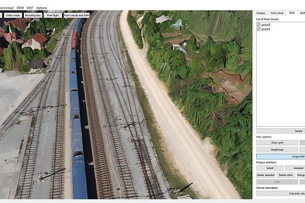
Measurements of the Rakek railway line
Overview
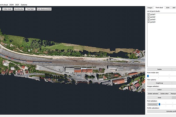
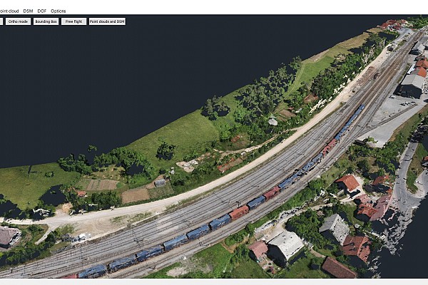
This project was a collaboration with one of the geodetic project companies in our area. The main objective was to observe, measure and 3D map 1.6km of railway line in Rakek and the station infrastructure.
Method
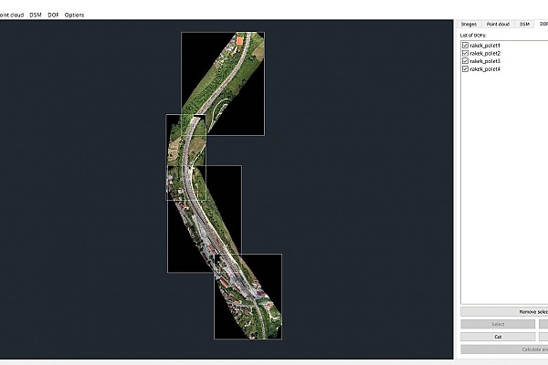
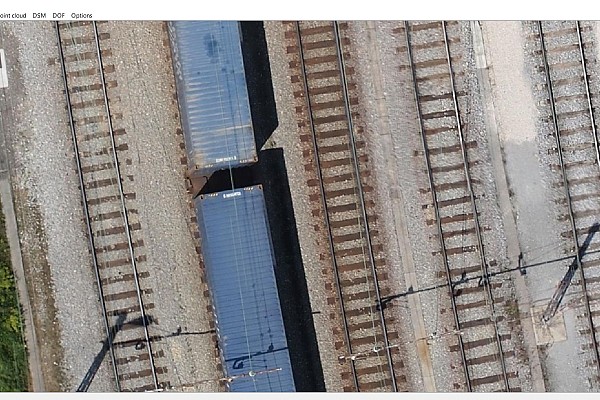
To generate a geodetic map we first calculated a digital terrain model and an orthophoto mosaic. We used photogrammetric techniques to efficiently and cost-effectively acquire data for an area that big.
Results
Check out the images below to see the detailed and highly accurate 3D maps and models we were then able to produce using all that information.

Keen to try 3Dsurvey for yourself? Try it free for 14 days!

