Church Tower Reconstruction in Slovakia
There comes a time where almost every building needs some reconstruction. This applies particularly to churches that have been around for centuries. However, churches are extremely difficult to measure because of their irregular shape. Domes and church towers need a special approach, and with the increasing popularity of drones for aerial views, this is now a much easier job.
By using photogrammetry for 3D documentation we may take advantage of optical sensors and dense matching algorithms that complement the already existing photogrammetric workflows for the documentation of heritage objects.
Project Description
This surveying was done by our Slovakian client who offers services with UAV´s. The person responsible for surveying is Róbert Turčan (drone pilot) and Martin Dóka (his assistant) from Dolet.sk. Thank you for sharing your knowledge with us!
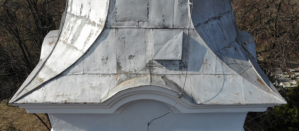
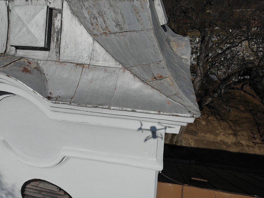
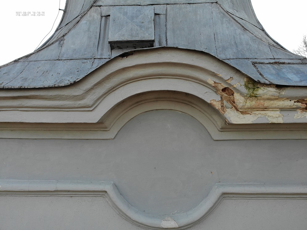
They used fundamental concepts in photogrammetry-based 3D reconstruction. The goal was to make a 3D model of a high, unreachable church tower for the purpose of measuring the surface of the cladding so the church tower can later be reconstructed. The perfect solution for this kind of measurement was drone and photogrammetry. In the past, there was a crane needed and a person, who completed climbing training for measuring the roof, but this is now a thing of the past.


Data Acquisition
For the flight, the Mavic Enterprise Dual drone was chosen, due to flight performances and very good sensor coverage. The flight was made in Tripod flight mode.
The total height of the tower was 30 meters and after the autonomous Tripod flight, they took some photos of details from the manual flight. 321 images were captured, 295 were used for reconstruction. The flight was made with one battery, so the approximate time of flight was 30 minutes. Data processing took about 2 hours.
TOOLS & SPECS
Type: a 3D model for the reconstruction of the church tower
Drone: DJI Mavic Enterprise Dual
Number of images: 321 images
Location: Slovakia
Processing
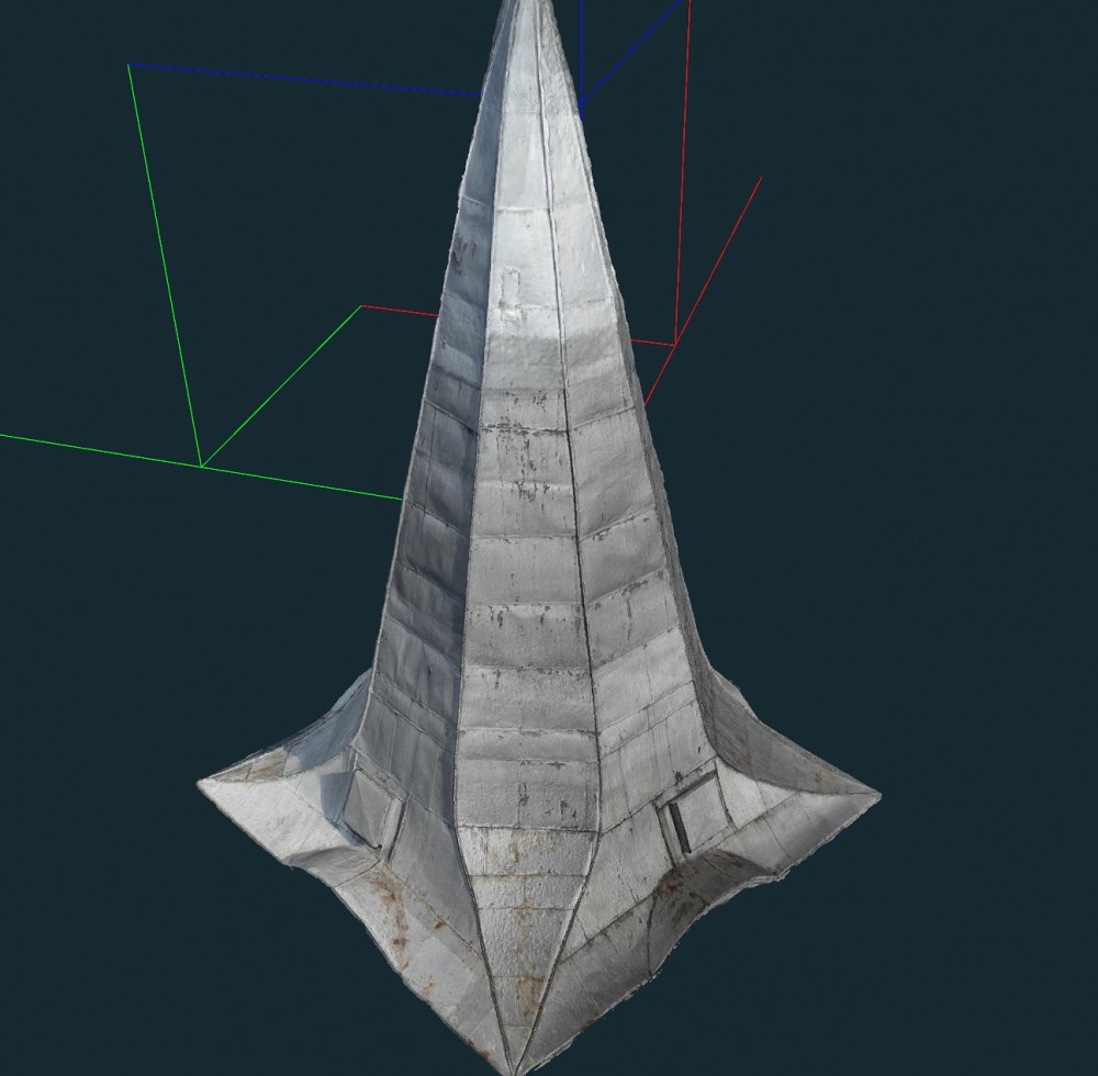
They imported the images to 3Dsurvey software and followed the standard workflow from performing bundle adjustment step where the software recognizes and finds common points between images, matches them and generates a raw 3D model – “sparse point cloud”, to reconstruction step which created a highly detailed 3D point cloud and generated a 3D model. Since the purpose of data collection was to gather the needed information for the tinsmith to complete the reconstruction, they needed surface measurements and angle details. This was measured on 3Dmesh.
The speed at which you can now create 3D models of real-world objects and structures is increasing. Depending on the level of accuracy required and the purpose of your work, further precision can be obtained in a model by integrating Ground Control Points (GCPs). However, as the purpose of this project was to visually record the church tower, the modeling workflow laid out in this use case was ideal, being both cheaper, safer, and faster than any traditional surveying methods.
Advantages of using photogrammetry for 3D documentation:
- Significant time saving on the field
- High accuracy depending on the needs of the project
- Providing metric and vector data of the texture of the object due to its image-based nature, which increases the understanding of the user.
- Low-cost and portable equipment

RESULTS
3D model in OBJ format – standard 3D format
BENEFITS
- Easy to use
- Speed & accuracy
- Possibility of presenting 3Dsurvey project to customers through 3Dsurvey viewer app
To find out more about 3D documentation and preserving cultural monuments check out this webinar: Preserving cultural heritage with photogrammetry (tips & tricks)
Keen to test 3Dsurvey for yourself? Try our 14 day free trial!

