Survey Map and Boundary Survey of a Golf Course
Project Overview
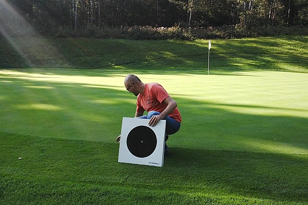
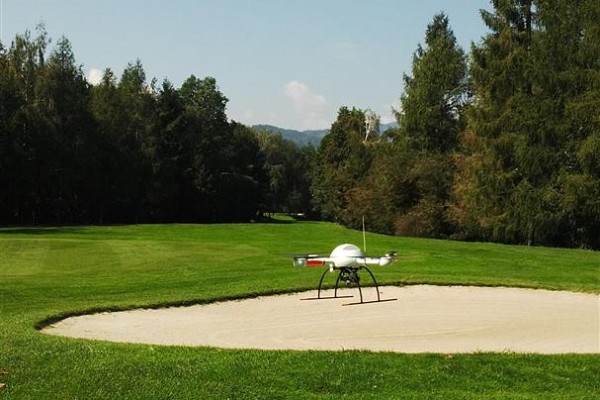
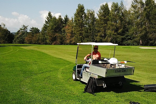
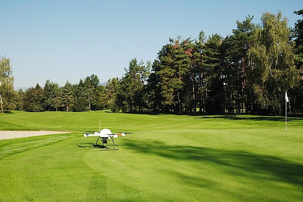
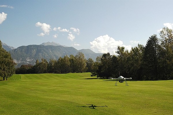
Our objective was to do a survey map and to perform a boundary survey of a golf course in Bled. Using a drone offers several advantages.
Firstly, drones can cover large areas quickly and efficiently, providing high-resolution aerial imagery that captures the entire golf course in detail. This data can be used to create accurate survey maps depicting features such as fairways, greens, hazards, and infrastructure. Additionally, drones equipped with GPS can precisely geo-reference the collected data. This ensures accurate mapping and boundary determination.
Drones can also access hard-to-reach or hazardous areas of the golf course, such as steep terrain or water hazards, which may be challenging for traditional surveying methods.
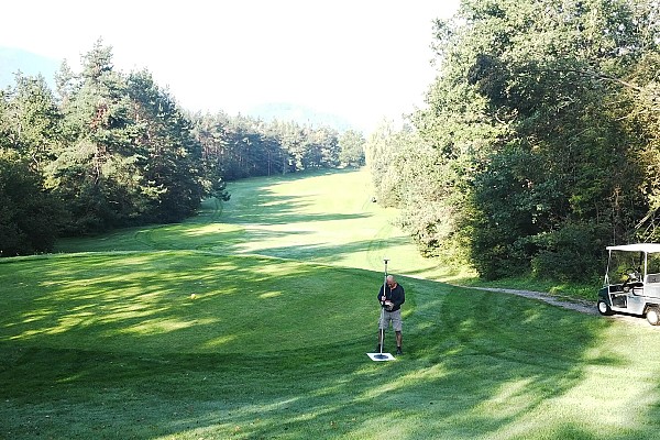
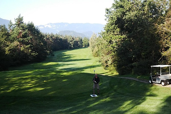
Our drone was flown to a height of 140m to measure more than 160 acres of land. We used the acquired aerial imagery along with ground control points to create a point cloud, a digital surface model and an orthophoto map of the area.
Gallery

Keen to try 3Dsurvey for yourself? Try it free for 14 days!

